
Windelsbach, municipality of Germany
Location: Ansbach
Elevation above the sea: 453 m
Part of: Verwaltungsgemeinschaft Rothenburg ob der Tauber
Website: https://windelsbach.de
GPS coordinates: 49.38333,10.30000
Latest update: March 7, 2025 06:14
Wildbad
5.5 km
Cultural heritage D-5-6527-0245 in Windelsbach
4.1 km
Sender Burgbernheim
5.8 km
Hl. Kreuz
5.8 km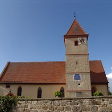
St. Ottilia
5.1 km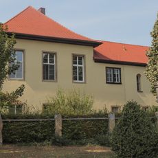
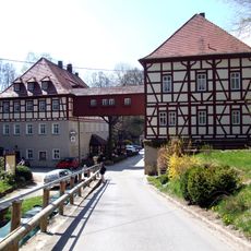
Ehemaliges Schloss
1.8 km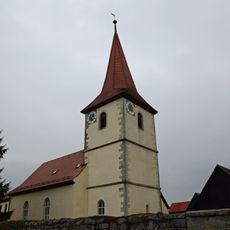
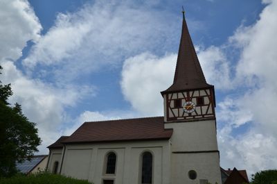
St. Nikolaus
4.5 km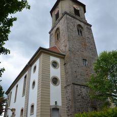
St. Kilian
2.1 km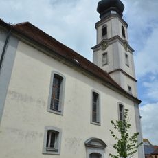
St. Sebastian, Cornelius und Cyprian
5.1 km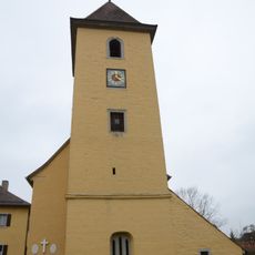
St. Martin
1.7 km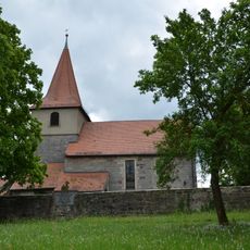
St. Nikolaus
2.9 km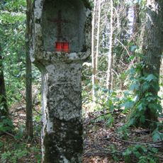
Bildstock
4 km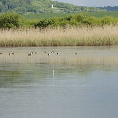
Vogelfreistätte Großer und Kleiner Lindleinsee
6.6 km
Hl. Kreuz
2.2 km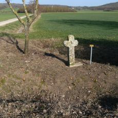
Steinkreuz bei Hartershofen
7.5 km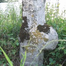
Steinkreuz bei Hürbel
5.1 km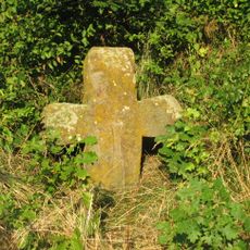
Steinkreuz bei Lauterbach
4.6 km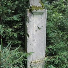
Steinstele
4.4 km
Markgrafenschloss
5.5 km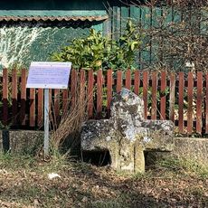
Steinkreuz in Poppenbach am Dorfplatz
6.1 km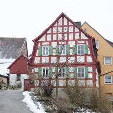
Wassergasse 8
7.5 km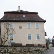
Wassergasse 6
7.5 km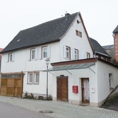
Wassergasse 1
7.5 km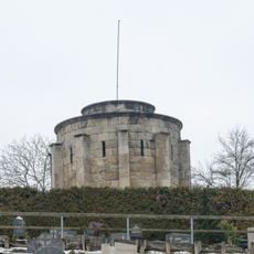
Kriegerdenkmal
7.5 km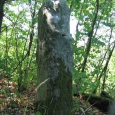
Kepplinger Kreuz (Nachbildung)
4.4 km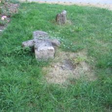
Zwei Steinkreuze in Dornhausen
4.8 km
Steinkreuz Spinnerin
4.1 km
Steinkreuz bei Steinach am Wald
2.4 kmVisited this place? Tap the stars to rate it and share your experience / photos with the community! Try now! You can cancel it anytime.
Discover hidden gems everywhere you go!
From secret cafés to breathtaking viewpoints, skip the crowded tourist spots and find places that match your style. Our app makes it easy with voice search, smart filtering, route optimization, and insider tips from travelers worldwide. Download now for the complete mobile experience.

A unique approach to discovering new places❞
— Le Figaro
All the places worth exploring❞
— France Info
A tailor-made excursion in just a few clicks❞
— 20 Minutes