
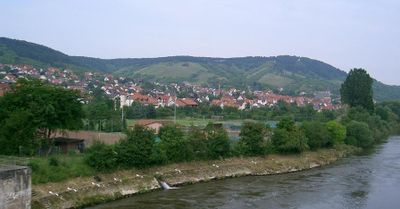
Erlabrunn, municipality of Germany
Location: Würzburg
Elevation above the sea: 180 m
Part of: Verwaltungsgemeinschaft Margetshöchheim
Shares border with: Zellingen, Leinach, Margetshöchheim, Thüngersheim
Website: http://gemeinde-erlabrunn.de
GPS coordinates: 49.86667,9.85000
Latest update: March 3, 2025 20:09
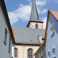
Pfarrkirche
878 m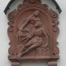
Wohngebäude
984 m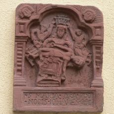
Relief
943 m
Hoftor Zellinger Straße 5 in Erlabrunn
907 m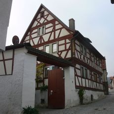
Wohngebäude
978 m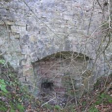
Kalkofen
2 km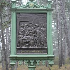
Kreuzwegstation XIV
1.4 km
Kreuzwegstation IX
1.2 km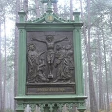
Kreuzwegstation XII
1.5 km
Wohngebäude
939 m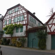
Hofanlage
916 m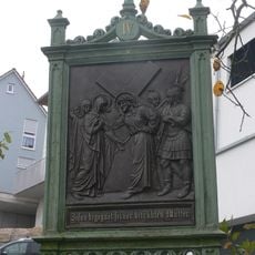
Kreuzwegstation IV
997 m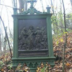
Kreuzwegstation X
1.3 km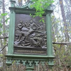
Kreuzwegstation XI
1.4 km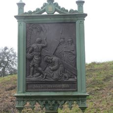
Kreuzwegstation III
955 m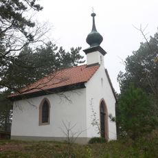
Kapelle
1.3 km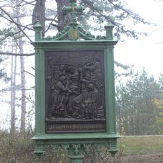
Kreuzwegstation XIII
1.5 km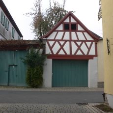
Austragshaus
908 m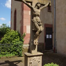
Kreuz
872 m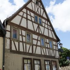
Wohnwirtschaftsgebäude
942 m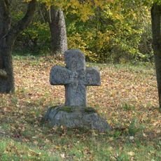
Sühnekreuz
1.9 km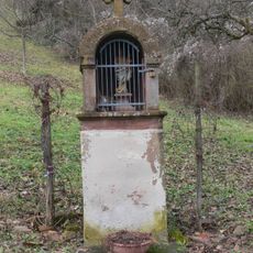
Bildhäuschen
1.5 km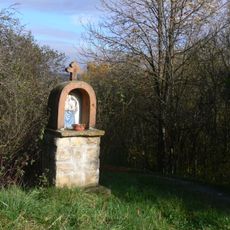
Bildhäuschen
1.5 km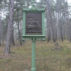
Kreuzweg
899 m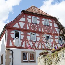
Wohngebäude
958 m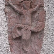
Relief
941 m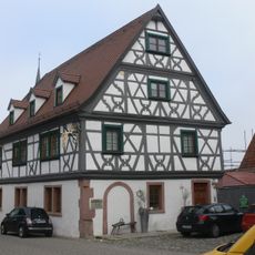
Wohngebäude
924 m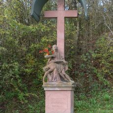
Wegkreuz
1.8 kmReviews
Visited this place? Tap the stars to rate it and share your experience / photos with the community! Try now! You can cancel it anytime.
Discover hidden gems everywhere you go!
From secret cafés to breathtaking viewpoints, skip the crowded tourist spots and find places that match your style. Our app makes it easy with voice search, smart filtering, route optimization, and insider tips from travelers worldwide. Download now for the complete mobile experience.

A unique approach to discovering new places❞
— Le Figaro
All the places worth exploring❞
— France Info
A tailor-made excursion in just a few clicks❞
— 20 Minutes