
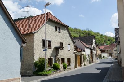
Sulzthal, market municipality of Germany
Location: Bad Kissingen
Elevation above the sea: 254 m
Part of: Verwaltungsgemeinschaft Euerdorf
Shares border with: Poppenhausen, Wasserlosen, Ramsthal
Website: http://Sulzthal.de
GPS coordinates: 50.13333,10.03333
Latest update: April 4, 2025 14:07
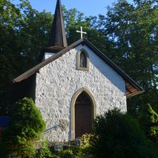
Marienkapelle
2.5 km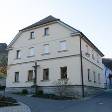
Schule
214 m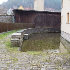
Teich
385 m
Pietà
158 m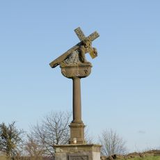
Kreuzschlepper
1.1 km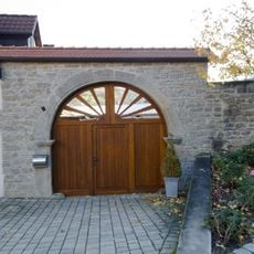
Hoftor
199 m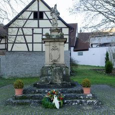
Kriegerdenkmal
227 m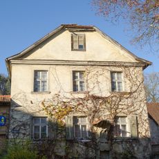
Wohnstallhaus
149 m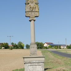
Bildstock
2.6 km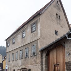
Doppelbauernhaus
352 m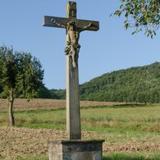
Wegkreuz
829 m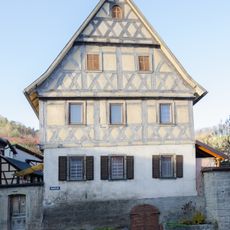
Bauernhaus
9 m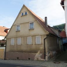
Doppelbauernhaus
74 m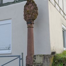
Bildstock
849 m
Bildstock
562 m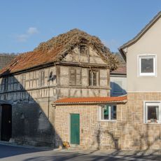
Hoftor
213 m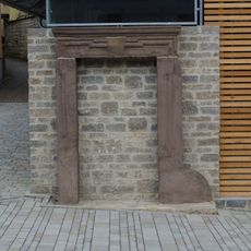
Hauptstraße 24
178 m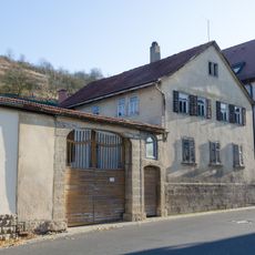
Hoftor
250 m
Bauernhaus
285 m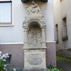
Prozessionsaltar
461 m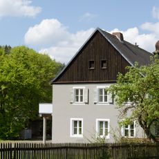
Telegrafenamt
535 m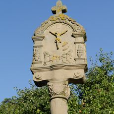
Bildstock
343 m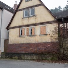
Wohnstallhaus
267 m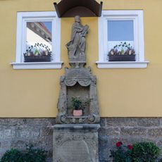
Prozessionsaltar
225 m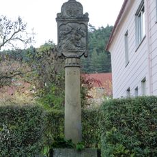
Bildstock
39 m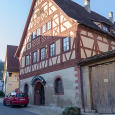
Gasthaus
164 m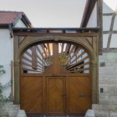
Hoftor
201 m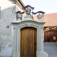
Hoftor
186 mVisited this place? Tap the stars to rate it and share your experience / photos with the community! Try now! You can cancel it anytime.
Discover hidden gems everywhere you go!
From secret cafés to breathtaking viewpoints, skip the crowded tourist spots and find places that match your style. Our app makes it easy with voice search, smart filtering, route optimization, and insider tips from travelers worldwide. Download now for the complete mobile experience.

A unique approach to discovering new places❞
— Le Figaro
All the places worth exploring❞
— France Info
A tailor-made excursion in just a few clicks❞
— 20 Minutes