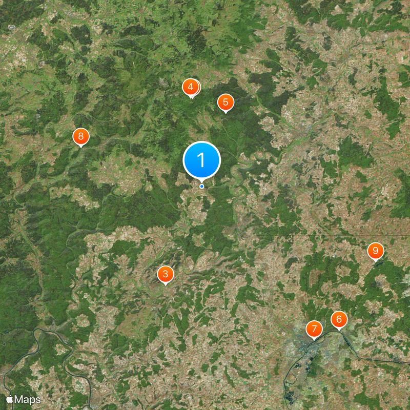
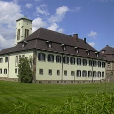
Bad Kissingen district, Administrative district in northern Bavaria, Germany
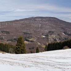
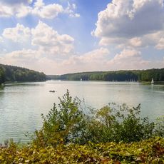
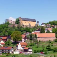
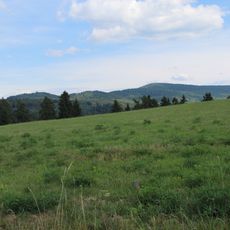
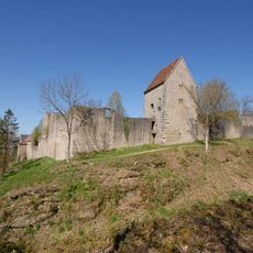
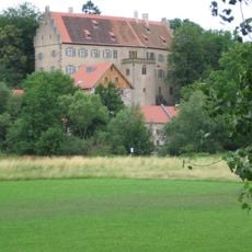
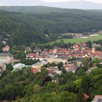
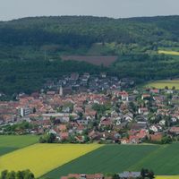
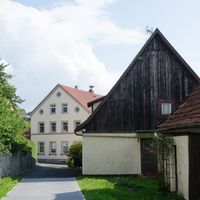
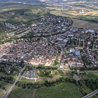
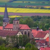
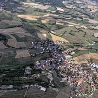
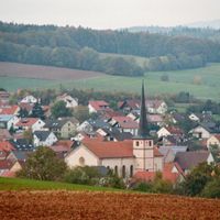
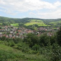
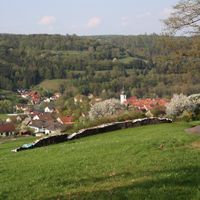
Bad Kissingen district is a rural administrative region in northern Bavaria comprising 26 municipalities, several of which function as spa towns. The Fränkische Saale river runs through the territory, and the landscape consists of rolling hills and forested areas.
The district was created in 1972 through the merger of three former administrative areas into a single unit. This consolidation brought together territories with distinct regional traditions under unified governance.
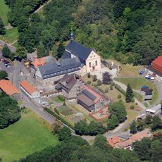
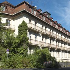
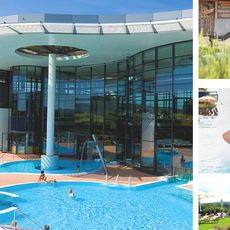
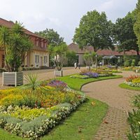
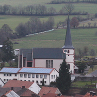
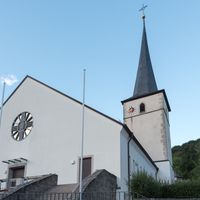
The region's spa towns have shaped local identity for centuries, drawing people seeking mineral waters and rest. This heritage remains visible today in how communities are organized around wellness and visitor experiences.
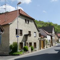
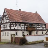
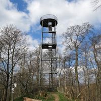
The area is best explored by car since communities are scattered across the river valley and public transportation is limited. Allow extra travel time between towns to fully experience the landscape and smaller villages.
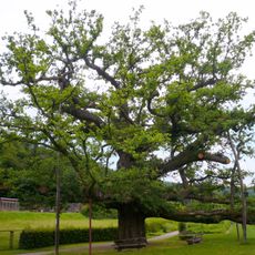
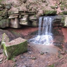
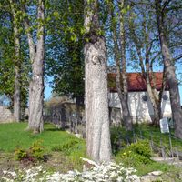
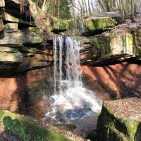
The territory protects several large forest reserves that safeguard natural habitats and ancient woodlands. These forests harbor rare plant and animal species across the gentle hills of the region.
Location: Lower Franconia
Inception: July 1, 1862
Capital city: Bad Kissingen
Elevation above the sea: 330 m
Shares border with: Rhön-Grabfeld, Schweinfurt, Main-Spessart, Main-Kinzig-Kreis, Fulda
Website: https://landkreis-badkissingen.de
GPS coordinates: 50.25000,10.00000
Latest update: December 7, 2025 09:22
Kreuzberg
13.4 km
Kloster Kreuzberg
13.6 km
Rhön Biosphere Reserve
11.7 km
Schloss
29.8 km
Museum Georg Schäfer
28.5 km
König-Ludwig-Eiche
19.1 km
Dammersfeldkuppe
19.1 km
Trimburg
12.8 km
Willy-Sachs-Stadion
26.4 km
Sanatorium
8.3 km
Burg Schwarzenfels
24 km
Burg Rieneck
30.6 km
Ottersteine
20.4 km
Burganlage
18.1 km
KissSalis Therme
8.2 km
Burgruine
9.3 km
Schloss
4.5 km
Kursaalgebäude
7.9 km
Tretstein waterfall
22.1 km
Schloss Greifenstein
24.2 km
Kloster
20.7 km
Denkmal
8 km
Wandelhalle
8.1 km
Wallfahrtskirche
20.2 km
Pfarrkirche
13.9 km
Tausendjährige Eiche bei Reith
8.2 km
Münnerstädter altar
13.9 km
Brunnenhalle (Bad Kissingen)
8.1 kmVisited this place? Tap the stars to rate it and share your experience / photos with the community! Try now! You can cancel it anytime.
Aura an der Saale
Bad Bocklet
Bad Brückenau
Bad Kissingen
Burkardroth
Elfershausen
Euerdorf
Fuchsstadt
Geroda
Hammelburg
Maßbach
Motten
Münnerstadt
Nüdlingen
Oberleichtersbach
Oberthulba
Oerlenbach
Ramsthal
Rannungen
Riedenberg
Schondra
Sulzthal
Thundorf in Unterfranken
Wartmannsroth
Wildflecken
Zeitlofs
Dreistelzer Forst
Forst Detter-Süd
Geiersnest-Ost
Geiersnest-West
Großer Auersberg
Kälberberg
Mottener Forst-Süd
Neuwirtshauser Forst
Omerz und Roter Berg
Römershager Forst-Nord
Römershager Forst-Ost
Roßbacher Forst
Waldfensterer Forst
Discover hidden gems everywhere you go!
From secret cafés to breathtaking viewpoints, skip the crowded tourist spots and find places that match your style. Our app makes it easy with voice search, smart filtering, route optimization, and insider tips from travelers worldwide. Download now for the complete mobile experience.
A unique approach to discovering new places❞
— Le Figaro
All the places worth exploring❞
— France Info
A tailor-made excursion in just a few clicks❞
— 20 Minutes