Hammelburg

Log in to your account

AroundUs is a community-driven map of interesting places, built by curious explorers like you. It grows with every review, story, and photo you share.
Connect to save your favorite spots, contribute locations, and create personalized routes.
Continue with Google
Continue with Apple
Continue with X
Continue with Facebook
Continue with email
By continuing, you accept our Terms and Conditions and our Privacy Policy
Create an account
Add to collection
Map
Suggest a change
Share

Hammelburg, Urban municipality in Bad Kissingen district, Germany.

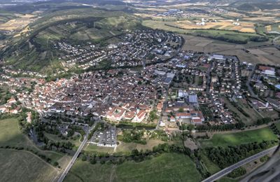
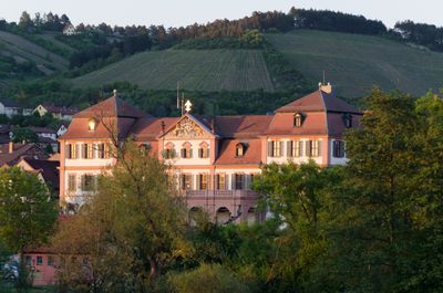
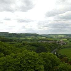
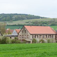
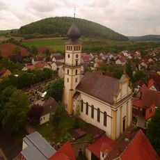
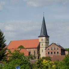
Hammelburg is a town in the Bad Kissingen district of Bavaria, nestled in the Rhön region at an elevation of 182 meters along the Fränkische Saale river. The municipal area covers 128 square kilometers and includes both the central town and several surrounding villages.

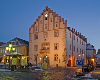
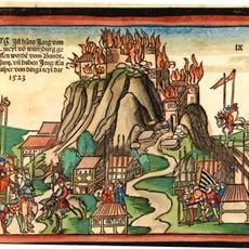
The earliest written record dates back to the year 716, when it appeared as Hamulo Castellum, and in 1303 the settlement received formal town status. Following the end of the Holy Roman Empire, it joined the Kingdom of Bavaria in 1816.

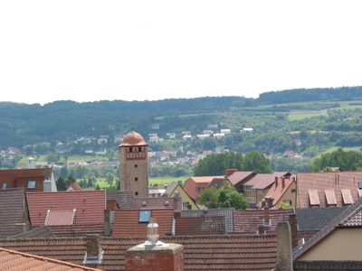
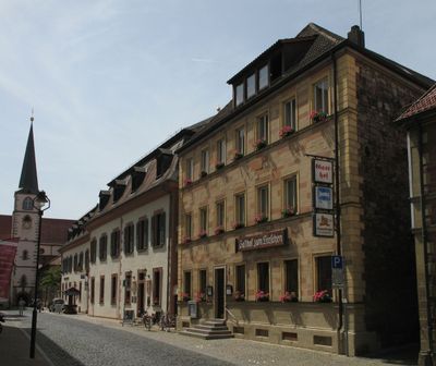
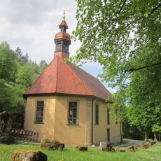
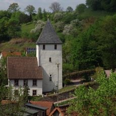
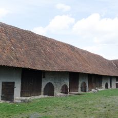
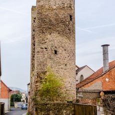
This settlement marks the earliest recorded wine-growing community in all of Franconia, and vineyards still climb the slopes above the town center. Walking through the old quarter reveals traces of the winemaking tradition that has shaped local life for more than a thousand years.

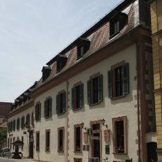
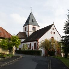
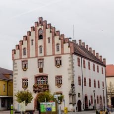
Regional roads connect the town to neighboring communities, and the center offers schools, medical facilities, and public squares. Visitors exploring on foot can walk through the old quarter in an afternoon, while the hillside vineyards remain within easy reach.

During the Second World War, two prisoner-of-war camps operated here, OFLAG XIII-B and Stalag XIII-C, which became the target of a risky liberation raid in March 1945. The operation remained controversial for years because it was carried out without military authorization and resulted in several soldier casualties.

Location: Bad Kissingen district

Elevation above the sea: 182 m

Shares border with: Wasserlosen, Arnstein, Eußenheim, Karsbach, Gräfendorf, Wartmannsroth, Oberthulba, Elfershausen, Fuchsstadt

Website: https://hammelburg.de

GPS coordinates: 50.11522,9.89044

Latest update: December 13, 2025 18:16

Photos
Reviews

Visited this place? Tap the stars to rate it and share your experience / photos with the community! Try now! You can cancel it anytime.

« Hammelburg - Urban municipality in Bad Kissingen district, Germany » is provided by Around Us (aroundus.com). Images and texts are derived from Wikimedia project under a Creative Commons license. You are allowed to copy, distribute, and modify copies of this page, under the conditions set by the license, as long as this note is clearly visible.

Discover hidden gems everywhere you go!

From secret cafés to breathtaking viewpoints, skip the crowded tourist spots and find places that match your style. Our app makes it easy with voice search, smart filtering, route optimization, and insider tips from travelers worldwide. Download now for the complete mobile experience.

Around Us App Screenshot

A unique approach to discovering new places

Le Figaro

All the places worth exploring

France Info

A tailor-made excursion in just a few clicks

20 Minutes