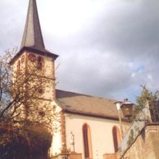
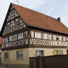
Bad Bocklet, market municipality in Bavaria, Germany
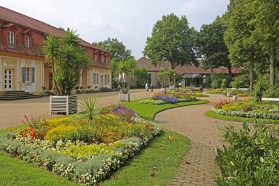
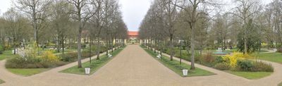
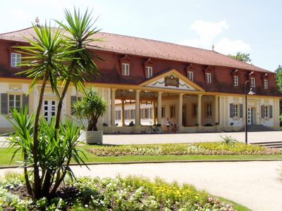
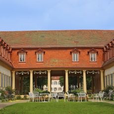
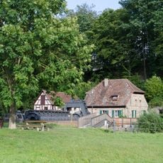
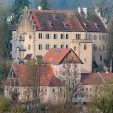
Bad Bocklet is a spa town and market municipality in the Bad Kissingen district of Bavaria that developed around natural mineral springs. The center offers thermal baths and wellness facilities where visitors come to rest and pursue health-focused activities.
The spa emerged in the 19th century when local mineral springs were recognized for their healing properties and began to be exploited. This medical use of the waters established a wellness tradition that has continued ever since.
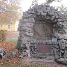
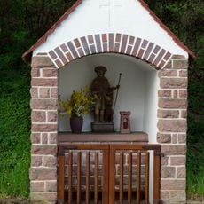
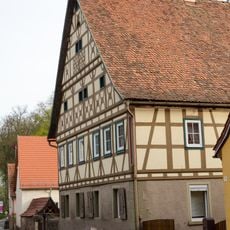
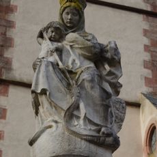
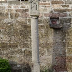
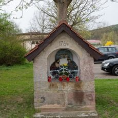
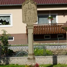
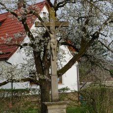
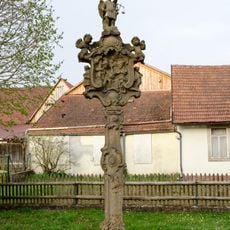
The name Bad refers to the spa tradition that has shaped life here for generations and remains central to how people experience the place. Buildings and public spaces reflect this wellness focus, which continues to define the character of the town.
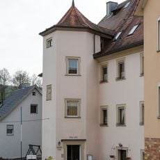
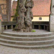
The town is accessible by public transport and provides basic amenities for visitors seeking rest and recovery. Walking through different areas helps you understand the layout and discover what services and facilities are available.
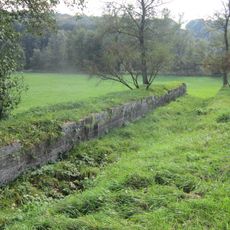
The mineral springs here have a specific composition that sets them apart from other spas in the region. Visitors often notice how the water tradition extends into the daily life and local infrastructure in unexpected ways.
The community of curious travelers
AroundUs brings together thousands of curated places, local tips, and hidden gems, enriched daily by 60,000 contributors worldwide.