Dammersfeldkuppe, Mountain summit in Bavaria, Germany
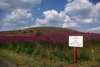
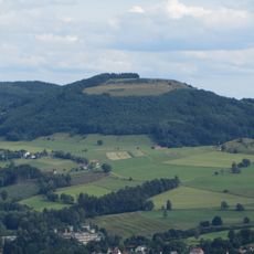
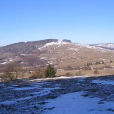
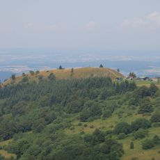
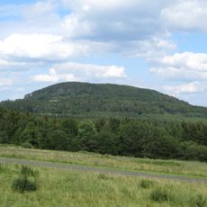
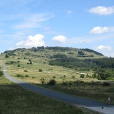
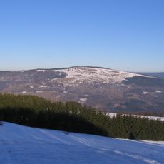
Dammersfeldkuppe is a mountain summit in the Rhön range in Bavaria, reaching 928 meters (about 3,045 feet) above sea level and ranking as the second highest point in the range. It sits on the edge of the Wildflecken Military Training Area, which limits public access to certain marked paths.
After World War II, the area around the summit was taken over by US forces and turned into a military training ground, closing off much of the high terrain to civilians. Even after American troops left in the 1990s, the military use of the area continued under German command.
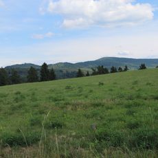
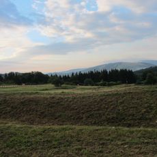
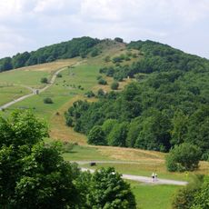
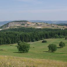
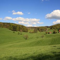
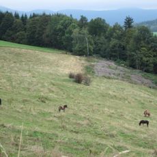
The Dammersfeldkuppe sits within the core zone of the Rhön Biosphere Reserve, a landscape kept largely open and free of buildings. Visitors who reach the summit find a high plateau with wide views and almost no other people around.
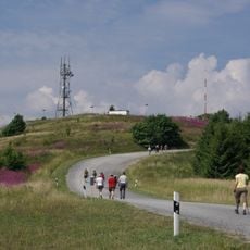
Access to the summit follows marked trails, and part of the route passes through military land that may be closed at certain times. Before visiting, it is worth checking current access conditions with the local municipality of Wildflecken.
Rain falling on the north side of the summit drains into the Schmalnau river, while water on the south side feeds the Kleine Sinn, making the mountain a natural divide between two separate river systems. This split is invisible to the eye but can be traced simply by watching which way a stream flows.
The community of curious travelers
AroundUs brings together thousands of curated places, local tips, and hidden gems, enriched daily by 60,000 contributors worldwide.