
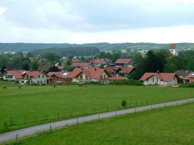
Hohenfurch, municipality of Germany
Location: Weilheim-Schongau
Elevation above the sea: 699 m
Part of: Verwaltungsgemeinschaft Altenstadt
Shares border with: Peiting, Schongau
Website: http://hohenfurch.de
GPS coordinates: 47.85000,10.90000
Latest update: March 5, 2025 05:24
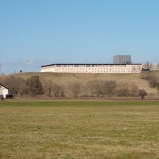
Altenstadt Air Base
2.7 km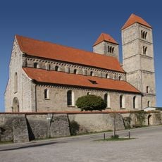
St. Michael
3.7 km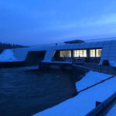
Lechstaustufe 8a – Kinsau
3.3 km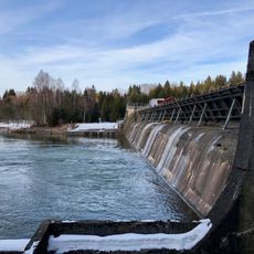
Lechstaustufe 8 – Sperber
2.3 km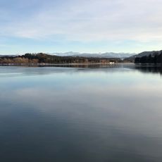
Lechstaustufe 7 – Finsterau
2.8 km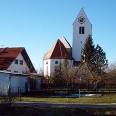
Pfarrkirche Mariä Himmelfahrt
358 m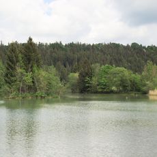
Steilhalden und Flussauen des Lechs zwischen Kinsau und Hohenfurch
2.5 km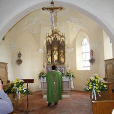
St Ursula
835 m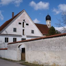
Pfarrhaus
3.4 km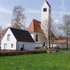
Katholische Pfarrkirche Heilig Kreuz
1.9 km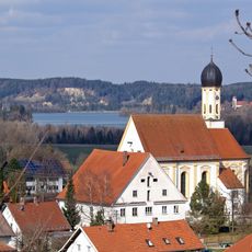
St. Matthäus
3.4 km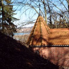
Gedächtniskapelle
4.2 km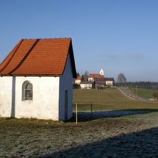
Hofkapelle
3.5 km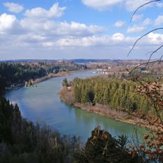
Inschutznahme von Landschaftsteilen beiderseits des Lechs von der Stadt Landsberg bis zur südlichen Landkreisgrenze des Landkreises Landsberg bei Kinsau als LSG Lechtal-Süd
1.9 km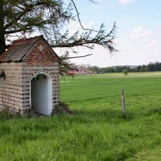
Feldkapelle
4 km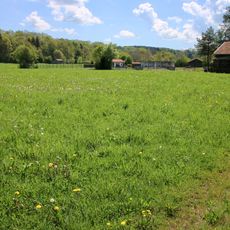
Cultural heritage D-1-8131-0001 in Apfeldorf
4.5 km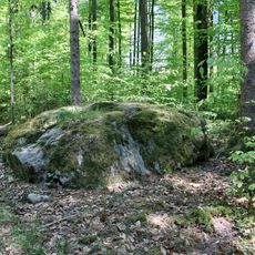
Findling 3 im Pürschwald beim Egidi ENE von Finsterau
3.5 km
Findling 1 im Pürschwald beim Antoni NE von Finsterau
2.8 km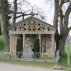
Kriegerdenkmal
3.6 km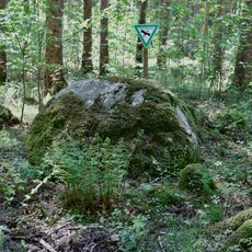
Findling 2 im Pürschwald NE von Finsterau
2.7 km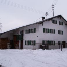
Ehemals Kleinbauernhof
3.6 km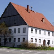
Hehl bzw. Wirt
178 m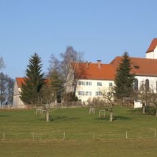
St. Anna
3.6 km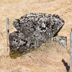
Sühnekreuz
2.1 km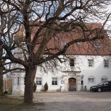
Ehemalige Gastwirtschaft
3.1 km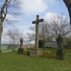
Kreuzigungsgruppe
3.6 km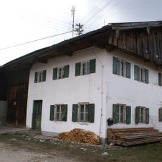
Abraham
602 m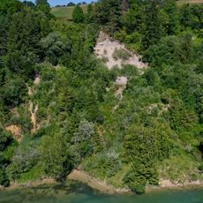
Lechufer E von Kinsau
4.3 kmVisited this place? Tap the stars to rate it and share your experience / photos with the community! Try now! You can cancel it anytime.
Discover hidden gems everywhere you go!
From secret cafés to breathtaking viewpoints, skip the crowded tourist spots and find places that match your style. Our app makes it easy with voice search, smart filtering, route optimization, and insider tips from travelers worldwide. Download now for the complete mobile experience.

A unique approach to discovering new places❞
— Le Figaro
All the places worth exploring❞
— France Info
A tailor-made excursion in just a few clicks❞
— 20 Minutes