Enable Location

We need your location to show you interesting places around you

Discover nearby places

Find interesting locations and hidden gems around you

Precise directions

Get accurate directions and distances to places

Your location is never shared with other users. It's only used when you tap the location button.

Bremervörde

Log in to your account

Start exploring — it's free

Trusted by 61,405 travelers worldwide

Continue with Google
Continue with Apple
or

We will send you a code to connect

By continuing, you accept our Terms and Conditions and our Privacy Policy

Check your inbox

We've sent a pincode in your inbox. Please enter the code below.

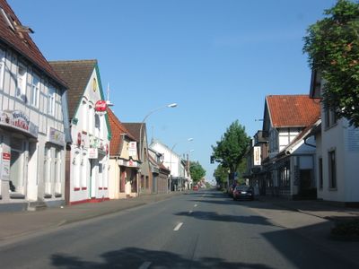
Bremervörde, Administrative municipality in Rotenburg district, Germany.

Description

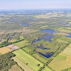
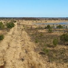
Bremervörde is a municipality in Rotenburg district, situated between the Weser and Elbe rivers. The area covers approximately 150 square kilometers and includes eleven surrounding villages.

History

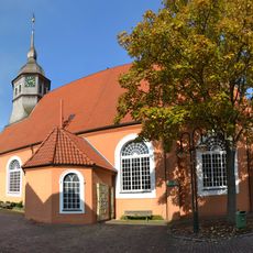
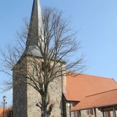
Vörde Castle was built in 1111 by Duke Lothair of Supplinburg at a ford of the Oste river to control trade routes between Jutland and Westphalia. The fortress shaped the settlement's development for centuries.

Culture

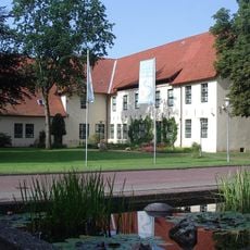
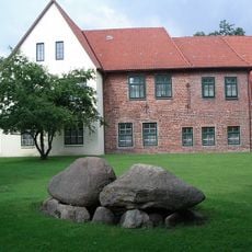
The Bachmann Museum occupies a former castle and displays regional geological discoveries, including a 4,600-year-old wooden wheel and whale fossils. These objects tell the story of how the landscape developed over thousands of years.

Practical

The location sits centrally between Hamburg, Bremen, and Cuxhaven with multiple road and rail connections. Visitors will find good transportation links that also enable day trips to neighboring regions.

Did you know?

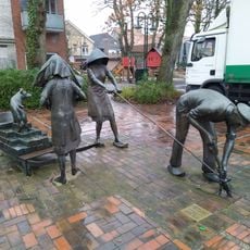
The municipality marks the endpoint of Deutsche Fährstraße, a route connecting locations significant to ferry transportation across German waterways. This historic route documents the long tradition of crossing rivers and waterways in the region.

Elevation above the sea
4 m
Shares border with
Oerel, Hollnseth, Alfstedt, Ebersdorf, Lower Saxony, Gnarrenburg, Sandbostel, Deinstedt, Farven, Kutenholz, Heinbockel, Oldendorf, Estorf, Kranenburg
GPS coordinates
53.48333,9.13333
Latest update
December 17, 2025 10:21

AroundUs brings together thousands of curated places, local tips, and hidden gems, enriched daily by 60,000 contributors worldwide. Discover all places nearby (Rotenburg (Wümme) district).

« Bremervörde - Administrative municipality in Rotenburg district, Germany » is provided by Around Us (aroundus.com). Images and texts are derived from Wikimedia project under a Creative Commons license. You are allowed to copy, distribute, and modify copies of this page, under the conditions set by the license, as long as this note is clearly visible.

Discover hidden gems everywhere you go!

From secret cafés to breathtaking viewpoints, skip the crowded tourist spots and find places that match your style. Our app makes it easy with voice search, smart filtering, route optimization, and insider tips from travelers worldwide. Download now for the complete mobile experience.

Around Us App Screenshot

A unique approach to discovering new places

Le Figaro

All the places worth exploring

France Info

A tailor-made excursion in just a few clicks

20 Minutes

Around Us
Travel Guide & Maps
Download

Send to your phone

QR Code
1

Open the camera app on your mobile.

2

Point at the QR code with your camera. A notification will appear.

3

Tap the notification to open the link.