
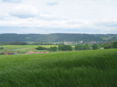
Harsdorf, municipality in the district of Kulmbach, Upper Franconia, Germany
Location: Kulmbach
Elevation above the sea: 351 m
Part of: Verwaltungsgemeinschaft Trebgast
Website: https://gemeinde-harsdorf.de
GPS coordinates: 50.02944,11.56639
Latest update: March 7, 2025 11:33
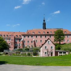
Kloster Himmelkron
4.1 km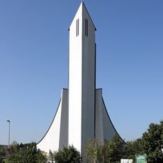
Autobahnkirche Himmelkron
4.3 km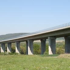
Talbrücke Lanzendorf
3.7 km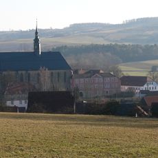
Klosterkirche Himmelkron
4.1 km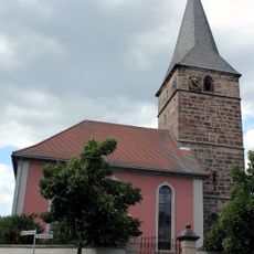
Pfarrkirche
65 m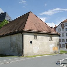
Mälzerei
4.1 km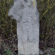
Gedenkstein
3.5 km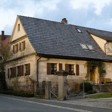
Cultural heritage D-4-77-119-2 in Harsdorf
22 m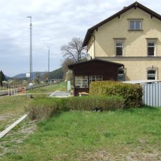
Bahnhof
180 m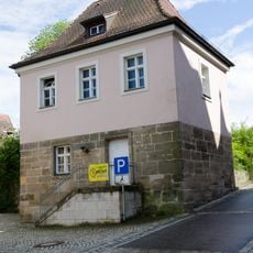
Klosterberg 11
4.2 km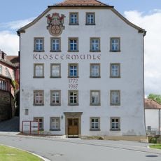
Mühlwehr
4.1 km
Bauernhof
2.3 km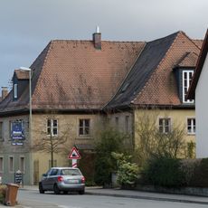
Wohnhaus
84 m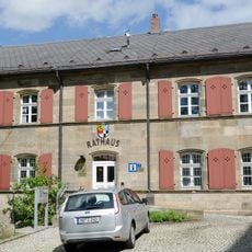
Rathaus
4.2 km
Kleinhaus
32 m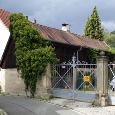
Nebengebäude An der Kirche 16 in Harsdorf
94 m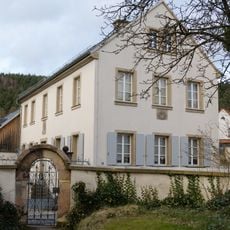
Evangelisch-lutherisches Pfarrhaus
94 m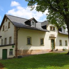
Bremermühle
3 km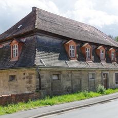
Kastenamt
4.2 km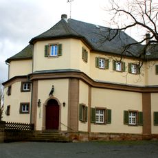
Ehemaliges Schloss Falkenhaube
3.9 km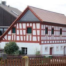
Wohnstallhaus
74 m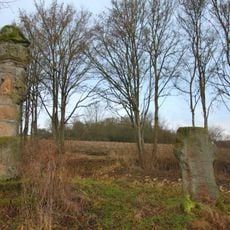
Marter
4.6 km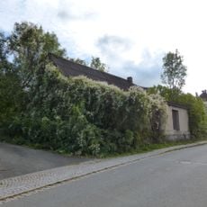
Cultural heritage D-4-77-142-73 in Neudrossenfeld
2.2 km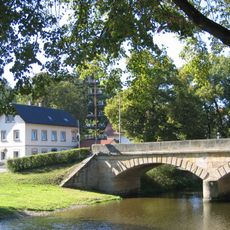
Brücke
3.4 km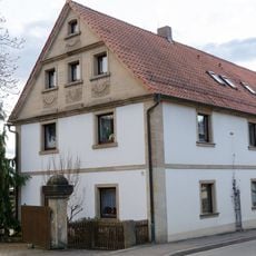
Cultural heritage D-4-77-119-8 in Harsdorf
69 m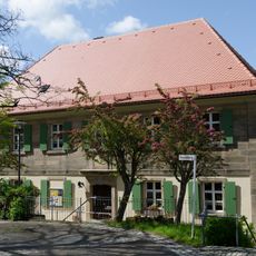
Pfarrhaus
4.2 km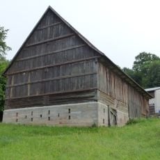
Scheune
3.5 km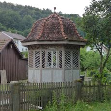
Gartentempel Bahnhofstraße 16 in Trebgast
4.2 kmVisited this place? Tap the stars to rate it and share your experience / photos with the community! Try now! You can cancel it anytime.
Discover hidden gems everywhere you go!
From secret cafés to breathtaking viewpoints, skip the crowded tourist spots and find places that match your style. Our app makes it easy with voice search, smart filtering, route optimization, and insider tips from travelers worldwide. Download now for the complete mobile experience.

A unique approach to discovering new places❞
— Le Figaro
All the places worth exploring❞
— France Info
A tailor-made excursion in just a few clicks❞
— 20 Minutes