
Ködnitz, municipality of Germany
Location: Kulmbach
Elevation above the sea: 318 m
Part of: Verwaltungsgemeinschaft Trebgast
Website: https://koednitz.de
GPS coordinates: 50.10000,11.51667
Latest update: March 13, 2025 16:42


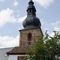
Saint Oswald of Northumbria Church
3.7 km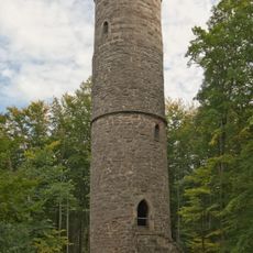
Reh-Tower
3.3 km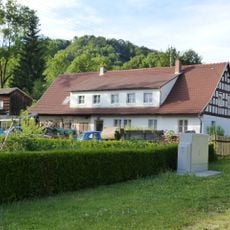
Wohnstallhaus
3 km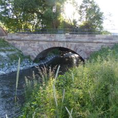
Brücke
199 m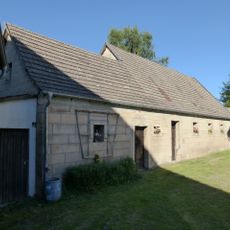
Nebengebäude
2.5 km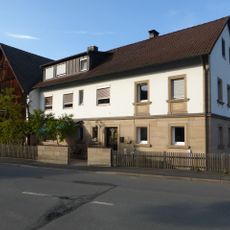
Wohnstallhaus
2.8 km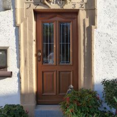
Baudenkmal
893 m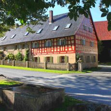
Vierseithof
2.6 km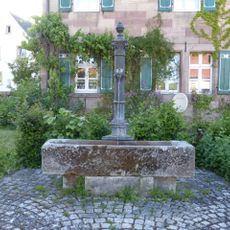
Brunnen
980 m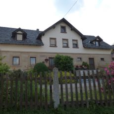
Cultural heritage D-4-77-127-13 in Ködnitz
1.1 km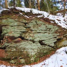
Steinerner Vogelherd NE von Leuchau
3.4 km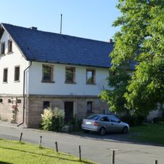
Cultural heritage D-4-77-127-15 in Ködnitz
2.5 km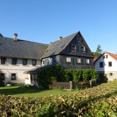
Mühle
957 m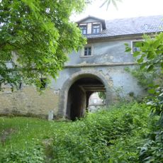
Wohnstallhaus
2.4 km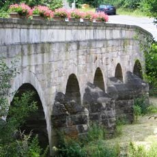
Brücke
3.5 km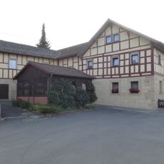
Wohnstallhaus
2.7 km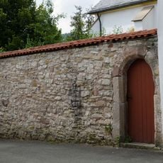
Friedhof
3.8 km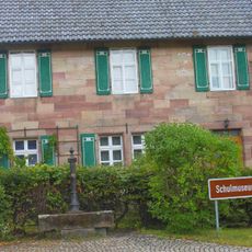
Schule
966 m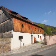
Bauernhof
3.5 km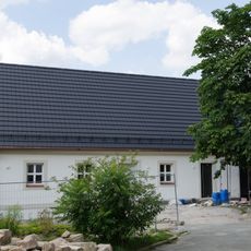
Evangelische
3.8 km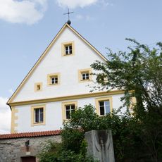
Evangelisch-lutherisches Pfarrhaus
3.8 km
Hoftor
2.1 km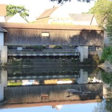
Mühlwehr
1 km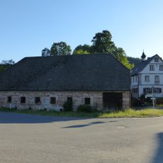
Cultural heritage D-4-77-127-11 in Ködnitz
1.2 km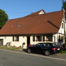
Kleinhaus
902 m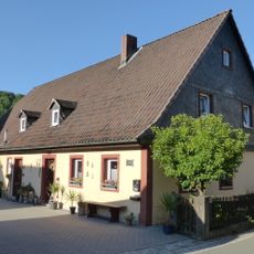
Bauernhof mit Wohnstallhaus
1.3 km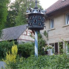
Taubenhaus
2.6 km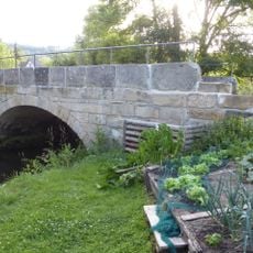
Brücke
2.7 kmVisited this place? Tap the stars to rate it and share your experience / photos with the community! Try now! You can cancel it anytime.
Discover hidden gems everywhere you go!
From secret cafés to breathtaking viewpoints, skip the crowded tourist spots and find places that match your style. Our app makes it easy with voice search, smart filtering, route optimization, and insider tips from travelers worldwide. Download now for the complete mobile experience.

A unique approach to discovering new places❞
— Le Figaro
All the places worth exploring❞
— France Info
A tailor-made excursion in just a few clicks❞
— 20 Minutes