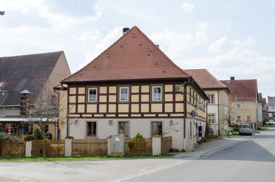
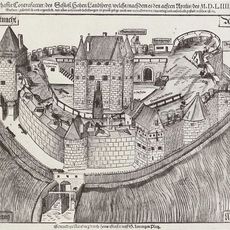
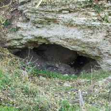
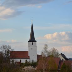
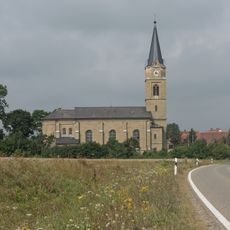
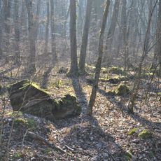
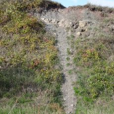
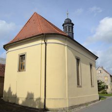
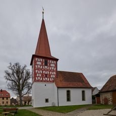
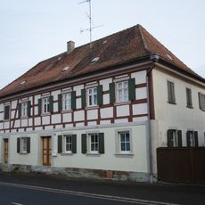
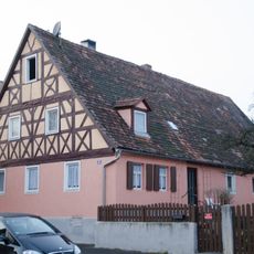
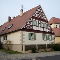
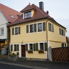
Sugenheim, market municipality of Germany
Location: Neustadt (Aisch)-Bad Windsheim
Elevation above the sea: 312 m
Part of: administrative community Scheinfeld
Shares border with: Markt Nordheim, Weigenheim
Website: http://sugenheim.de
GPS coordinates: 49.60000,10.41667
Latest update: March 7, 2025 10:49
Burg Hohenlandsberg
8.6 km
Schloßstraße 47, Altes Schloss
1.7 km
Gipshöhle Höllern und Gipshügel "Sieben Buckel"
4.9 km
St. Erhard (Sugenheim)
1.3 km
Evangelische Kirche
4.5 km
St. Leonhard (Ezelheim)
967 m
Friedenskirche (Ingolstadt)
2.7 km
St. Mauritius
1.4 km
Mariä Himmelfahrt
4.8 km
Burgstall Spielberg
3.7 km
Naturwaldreservat Wolfsee
6.3 km
Evangelisch-lutherische Pfarrkirche
3.3 km
Acrodus-Corbula-Zone SE von Nenzenheim
9.3 km
Evangelische Kirche
2.5 km
Evangelical Lutheran branch church of St. Nicholas
4.6 km
Ehemaliges Amtshaus
1.6 km
Gipshügel Sieben Buckel
4.8 km
Gipshöhle Höllern
4.7 km
LSG innerhalb des Naturparks Steigerwald (ehemals Schutzzone)
6.1 km
Ehemalige Schule und Schmiede
1.4 km
Wohnhaus
1.6 km
Wohnstallhaus
1.5 km
Wohnstallhaus
1.3 km
Wohnhaus
1.6 km
Ehemaliges Gasthaus zur Krone
1.5 km
Südlicher Steigerwald
3.2 km
Austragshaus
1.5 km
Burgstall Hohenlandsberg
8.6 kmReviews
Visited this place? Tap the stars to rate it and share your experience / photos with the community! Try now! You can cancel it anytime.
Discover hidden gems everywhere you go!
From secret cafés to breathtaking viewpoints, skip the crowded tourist spots and find places that match your style. Our app makes it easy with voice search, smart filtering, route optimization, and insider tips from travelers worldwide. Download now for the complete mobile experience.
A unique approach to discovering new places❞
— Le Figaro
All the places worth exploring❞
— France Info
A tailor-made excursion in just a few clicks❞
— 20 Minutes