Trittau, municipality of Germany
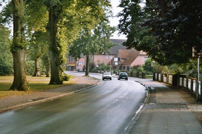
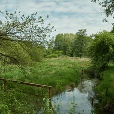
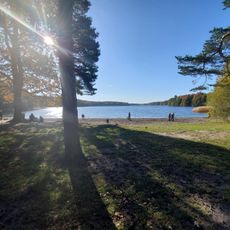
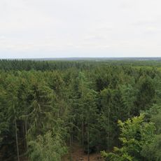
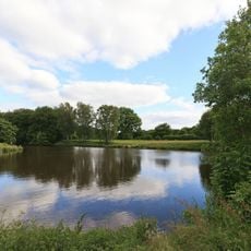
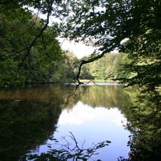
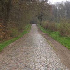
Trittau is a small municipality in northern Germany marked by green spaces, local shops, and a quiet streetscape. It has around 10,000 residents and is surrounded by fields, forests, and the protected Hahnheide nature reserve, where walking paths invite exploration.
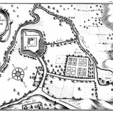
Trittau was first documented in 1167 and lay under the rule of Heinrich the Lion. Over centuries it developed as a quiet place for farming and local life, until it gained notice in the early 1900s as a retreat destination.
Trittau is experienced by its residents as a place where people naturally gather in the streets and parks to share daily life. The community spirit shows through regular markets, art festivals, and neighborly meetings that reflect a slow, friendly way of living together.
The town is easy to explore by car or bike, with safe streets and parks with play areas for families. Its proximity to Hamburg lets visitors combine a trip to both places or enjoy the surrounding nature in Hahnheide.
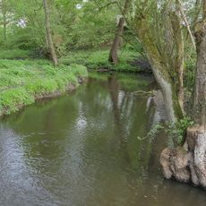
The old watermill from 1701 stands by the water today and hosts art exhibitions, concerts, and theater performances. It still shows its original structure and recalls the time when water power drove the mill.
The community of curious travelers
AroundUs brings together thousands of curated places, local tips, and hidden gems, enriched daily by 60,000 contributors worldwide.