Teutschenthal, municipality of Germany
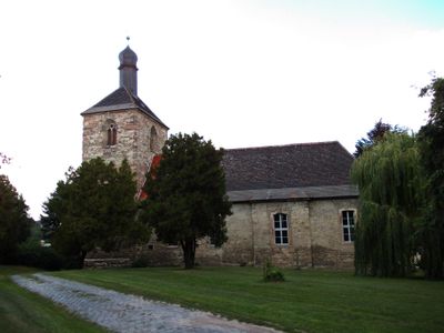
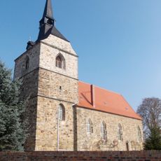
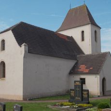
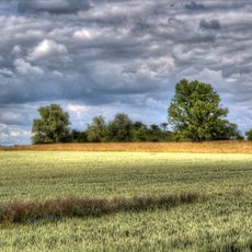
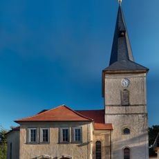
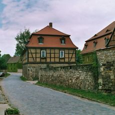
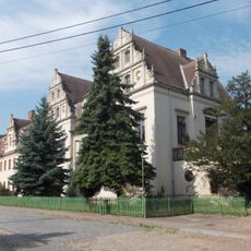
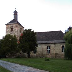
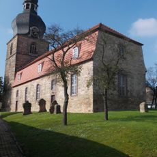
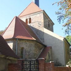
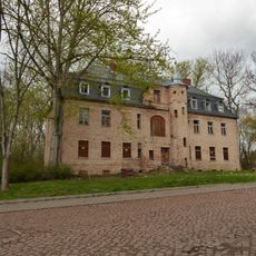
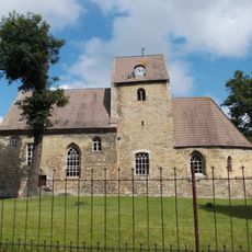
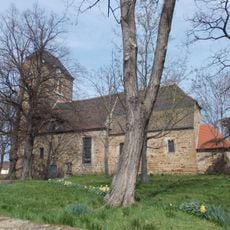
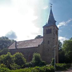
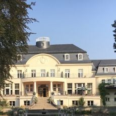
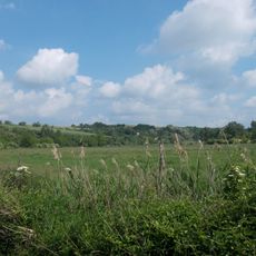
Teutschenthal is a rural municipality in Saalekreis, Saxony-Anhalt, made up of several villages and hamlets grouped together under one administrative unit. The land around them is gently rolling, with open fields, meadows, and occasional patches of woodland covering most of the area.
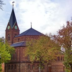
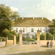
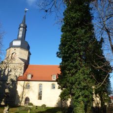
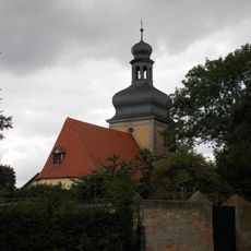
The villages in this area trace their roots back to medieval times, when the land was settled and farmed by local communities. Later administrative reforms merged several once-independent settlements into the current municipal structure.
Teutschenthal is known in the motorsport world for hosting an international motocross event that draws fans from across Europe each year. On race weekends, the surrounding fields and roads fill with activity that stands in sharp contrast to the otherwise quiet rural setting.
A car is the most practical way to get around, as the villages are spread out and bus connections are limited. The flat to gently rolling terrain makes the area easy to explore on foot or by bike along country paths.
Beneath the municipality lies a large deposit of salt that has been known in the region for a long time. During the 20th century, these underground layers were used for industrial purposes, shaping the local economy in ways that are still part of the area's story today.
The community of curious travelers
AroundUs brings together thousands of curated places, local tips, and hidden gems, enriched daily by 60,000 contributors worldwide.