
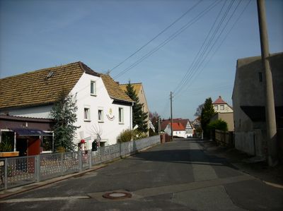
Starkenberg, municipality of Germany
Location: Altenburger Land
Elevation above the sea: 235 m
Website: https://starkenberg.info
GPS coordinates: 50.98472,12.31250
Latest update: March 2, 2025 20:07
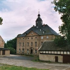
Wasserschloss Dobitschen
3.9 km
Zuckerfabrik Rositz
4.3 km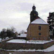
Kirche
2.5 km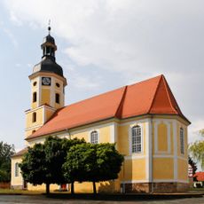
Kirche in Kayna
5.5 km
Kirche Mutter Gottes vom Berge Karmel
5.5 km
Martinskirche
6.6 km
Restloch Zechau
2.9 km
Dorfkirche Göllnitz
4.2 km
Evangelische Kirche Rositz
5.3 km
St. Veit (Kriebitzsch)
4.4 km
Kirche
2 km
St. Trinitatis (Monstab)
2.7 km
Kirche
4.5 km
St. Matthäus
3.8 km
Kirche Dobitschen
3.8 km
Kirche Gödern
3 km
Dorfkirche Mumsdorf
6.6 km
Kirche Mehna
3.9 km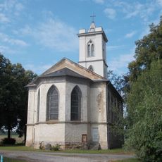
Protestant Church (Lumpzig)
5.7 km
Marienkirche
5.3 km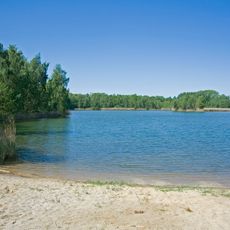
Landschaftsschutzgebiet Hainbergsee Meuselwitz
5.9 km
Restloch Zechau
3.1 km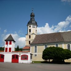
Alte Feuerwache Kayna
5.5 km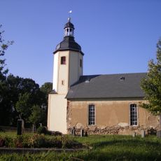
Protestant Church Wernsdorf
4.6 km
Protestant Church (Zettweil)
4.4 km
Protestant Church (Spora)
6 km
Protestant Church Nißma
4.6 km
War memorial Zechau
3.5 kmVisited this place? Tap the stars to rate it and share your experience / photos with the community! Try now! You can cancel it anytime.
Discover hidden gems everywhere you go!
From secret cafés to breathtaking viewpoints, skip the crowded tourist spots and find places that match your style. Our app makes it easy with voice search, smart filtering, route optimization, and insider tips from travelers worldwide. Download now for the complete mobile experience.

A unique approach to discovering new places❞
— Le Figaro
All the places worth exploring❞
— France Info
A tailor-made excursion in just a few clicks❞
— 20 Minutes