Reinfeld, municipality of Germany
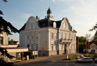
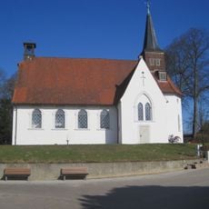
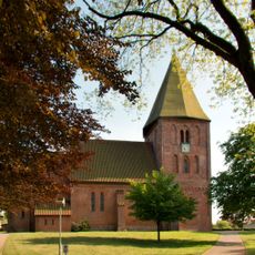
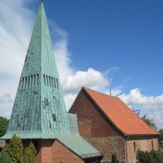
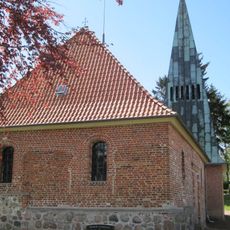
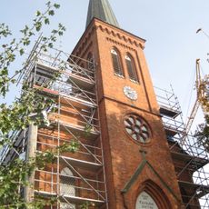
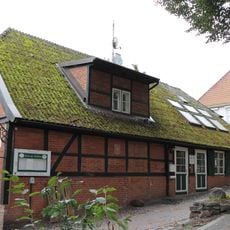
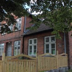
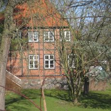
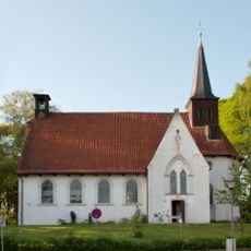
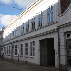
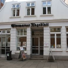
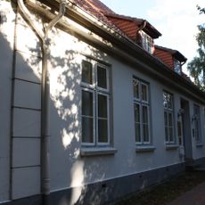
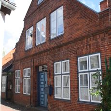
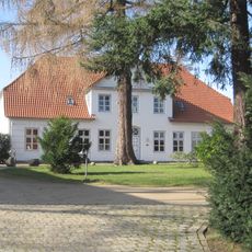
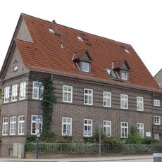
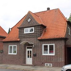
Reinfeld is a small municipality in the Stormarn region of northern Germany, recognized as a town since 1927. The streets are lined with buildings spanning from old structures to newer developments, with a quiet town center that includes local shops, cafes, and public spaces where residents go about their daily routines.
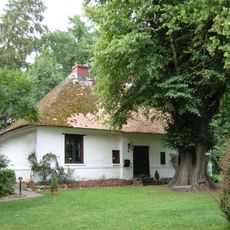
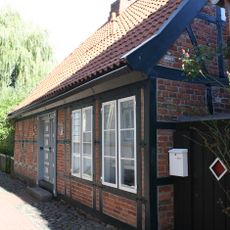
Reinfeld grew from several village settlements that merged over time and gained official town status in 1927. The area was historically shaped by farming and local trades, activities that remain visible in the town's structure and character.
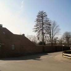
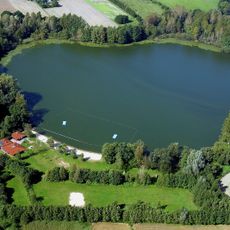
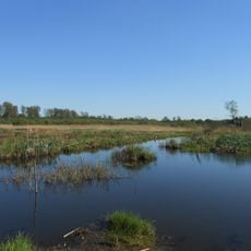
The town is easy to explore on foot, with quiet streets and walking paths around nearby lakes like the Herrenteich and Neuhöfer Teich, which are also suitable for cycling. Hamburg is only about 30 minutes away by car or train, making this a good base for a peaceful stay while remaining close to a larger city.
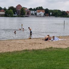
The town is known as Karpfenstadt, or Carp Town, because of its long tradition of carp farming and fishing that continues through generations. Beyond carp, local waters are also home to other fish species like tench, eels, pike, and trout that are caught and served at local establishments.
The community of curious travelers
AroundUs brings together thousands of curated places, local tips, and hidden gems, enriched daily by 60,000 contributors worldwide.