
Krempe, municipality of Germany
Location: Steinburg
Elevation above the sea: 6 m
Website: https://krempe.de
GPS coordinates: 53.83330,9.48333
Latest update: March 2, 2025 23:44


Binnendünen Nordoe
6.3 km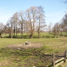
Steinburg
5.2 km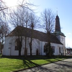
Stadtkirche Glückstadt
6.3 km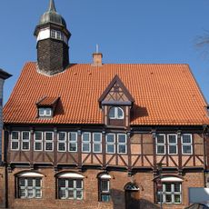
Rathaus Krempe
542 m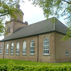
St. Peter (Krempe)
605 m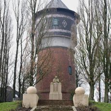
Wasserturm Krempe
652 m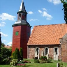
Trinitatiskirche
5.6 km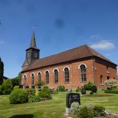
Kirche Süderau
2.4 km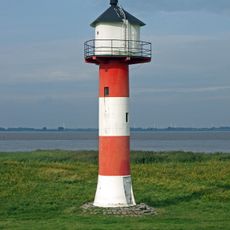
Glückstadt range front light
6.1 km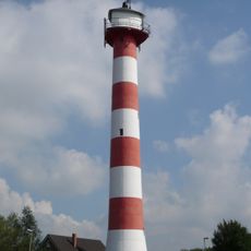
Glückstadt range rear light
5.8 km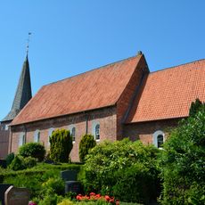
Kirche St. Nicolai
5 km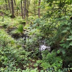
Geesthang bei Dägeling mit Bockwischer Moor
4.9 km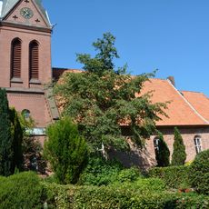
Kirche St. Urban mit Ausstattung
3.6 km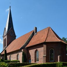
Kirche St. Urban
3.6 km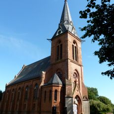
Kirche St. Katherinen
4.5 km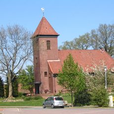
St. Annen
5.2 km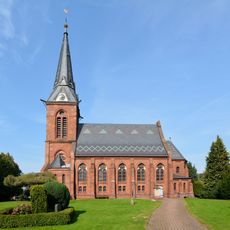
Kirche St. Katherinen mit Ausstattung
4.5 km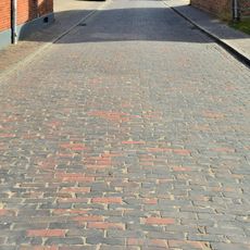
Klinkerstraße
3.6 km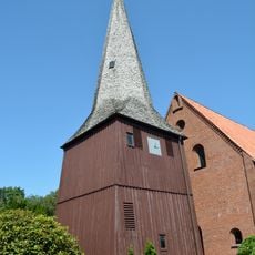
Kirche St. Nicolai mit Ausstattung
5 km
Ehemaliges Altersheim
6.3 km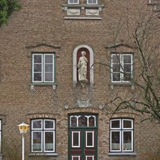
Poppenhuus
5.6 km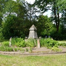
Städtische Anlagen: Kugeldenkmal
6 km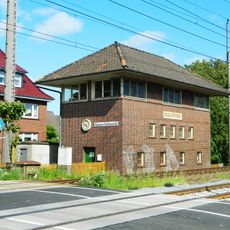
Christian-IV-Straße 25
6.2 km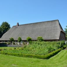
Fachhallenhaus Groß Bahrenfleth 6
6 km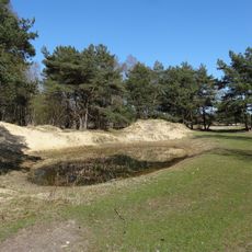
Binnendünen Nordoe
6.3 km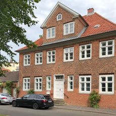
Altes Pastorat
6.3 km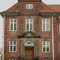
Stiftstraße 16a
590 m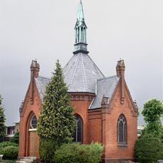
Friedhofskapelle
870 mVisited this place? Tap the stars to rate it and share your experience / photos with the community! Try now! You can cancel it anytime.
Discover hidden gems everywhere you go!
From secret cafés to breathtaking viewpoints, skip the crowded tourist spots and find places that match your style. Our app makes it easy with voice search, smart filtering, route optimization, and insider tips from travelers worldwide. Download now for the complete mobile experience.

A unique approach to discovering new places❞
— Le Figaro
All the places worth exploring❞
— France Info
A tailor-made excursion in just a few clicks❞
— 20 Minutes