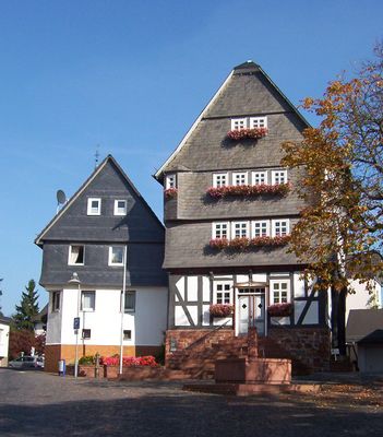
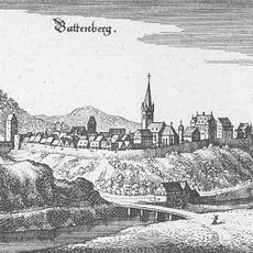
Battenberg, Administrative town in Waldeck-Frankenberg district, Germany.
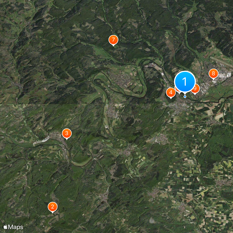
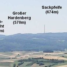
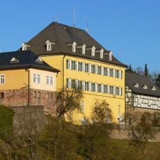
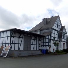
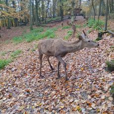
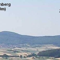
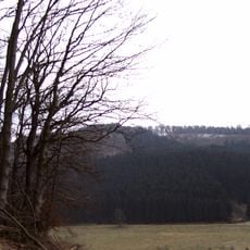
Battenberg is a town in Waldeck-Frankenberg district in northern Hesse situated around 340 meters above sea level. The municipality covers an area of about 65 square kilometers and contains residential neighborhoods along with administrative buildings that serve the community's daily needs.
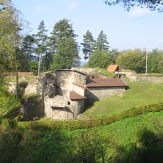
The town grew from medieval origins and developed over centuries into an administrative center for the region. This development shows how small settlements evolved into modern municipal communities.
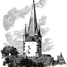
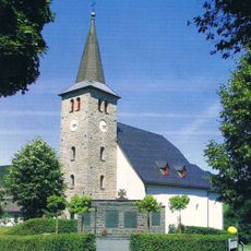
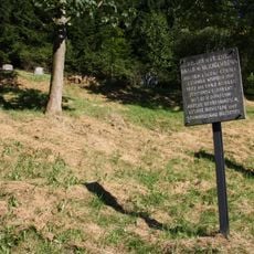
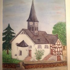
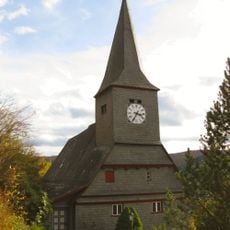
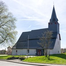
Protestant traditions shape how people live together in Battenberg, with many residents regularly gathering at the church and for local festivals. This religious foundation is visible in how the town is designed and in the rhythms of community life throughout the year.
The town is best explored on foot or by bicycle, as residential areas and central zones are compact and close together. Administrative buildings and public facilities are well distributed, making navigation straightforward.
Battenberg has a notably balanced population structure with roughly equal numbers of men and women, which is not common in many German towns. A substantial portion of residents are in their retirement years, shaping community dynamics.
The community of curious travelers
AroundUs brings together thousands of curated places, local tips, and hidden gems, enriched daily by 60,000 contributors worldwide.