
Idenheim, municipality of Germany
Location: Eifelkreis Bitburg-Prüm
Elevation above the sea: 320 m
Website: http://www.idenheim.de
Website: http://idenheim.de
GPS coordinates: 49.89861,6.57028
Latest update: May 14, 2025 01:47

Eifelpark
7.9 km
Ramstein Castle
9.9 km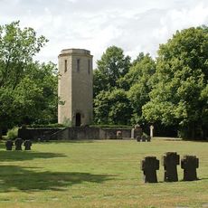
Kriegsgräberstätte Bitburg-Kolmeshöhe
8.3 km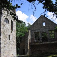
Prümerburg
9.7 km
Schloss Niederweis
8.2 km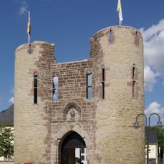
Welschbillig Castle
5 km
Protestant Church (Bitburg)
8.6 km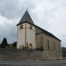
Saint John the Evangelist Church
8.1 km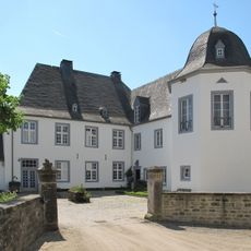
Schloss Wolsfeld
7.6 km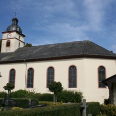
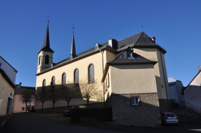
St. Petrus
2.4 km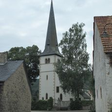
Alt St. Hubertus (Wolsfeld)
7.6 km
St. Philippus und Jakobus
6.4 km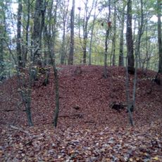
Motte Orenhofen
7.3 km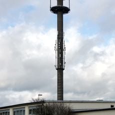
Fernmeldeturm Bitburg
8 km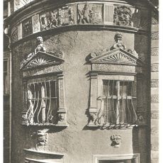
Cobenturm
9 km
Churches in Kordel
7.9 km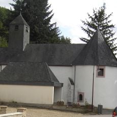
St. Nikolaus
9.9 km
St.Clemens
9.2 km
St. Peter
7.5 km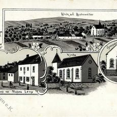
Synagoge
9.8 km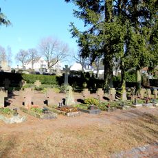
Kriegsgräberstätte Bitburg-Hauptfriedhof
9 km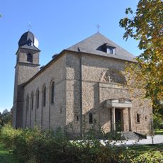
St. Hubertus (Wolsfeld)
7.4 km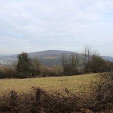
Streuobstwiesen und Hecken am Muenchensberg bei Huettingen
6.7 km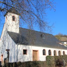
St. Antonius
7.9 km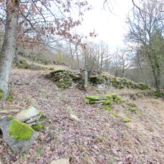
In der Held bei Huettingen
8 km
Schloss Niederweis
8.2 km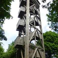
Zemmer Observation Tower
8.3 km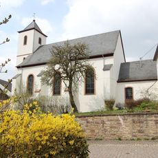
Saint Eucharius Church
9 kmReviews
Visited this place? Tap the stars to rate it and share your experience / photos with the community! Try now! You can cancel it anytime.
Discover hidden gems everywhere you go!
From secret cafés to breathtaking viewpoints, skip the crowded tourist spots and find places that match your style. Our app makes it easy with voice search, smart filtering, route optimization, and insider tips from travelers worldwide. Download now for the complete mobile experience.

A unique approach to discovering new places❞
— Le Figaro
All the places worth exploring❞
— France Info
A tailor-made excursion in just a few clicks❞
— 20 Minutes