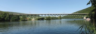
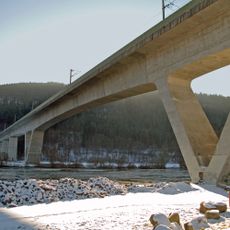
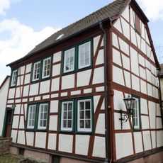
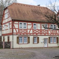
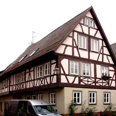
Neuendorf, municipality in Main-Spessart district, Bavaria state, Germany
Location: Main-Spessart
Elevation above the sea: 156 m
Part of: Verwaltungsgemeinschaft Lohr am Main
Shares border with: Lohr am Main, Gemünden am Main
Website: https://neuendorf-main.de
GPS coordinates: 50.03250,9.64389
Latest update: March 24, 2025 21:45
Mariabuchen
5.1 km
Burgruine
926 m
Maintalbrücke Gemünden
3.5 km
Main Viaduct, Nantenbach
625 m
Transformatorenhaus
6.4 km
Alte Mainbrücke Lohr
6.3 km
Katharinenbild
5.7 km
Pfarrkirche
3.7 km
Neue Mainbrücke Lohr
6.1 km
Kirche
4.7 km
Kapelle
6.4 km
Wohnhaus
3.8 km
Mesnerhaus
6.4 km
Forsthaus
3.8 km
Gasthaus
3.7 km
Wohnhaus
6.4 km
Pfarrhaus
6.4 km
Bildstock
3.8 km
Heiligenfigur
3.8 km
Wohnhaus
3.7 km
Wohnhaus
6.4 km
Wohnhaus
6.4 km
Kreuz
6.4 km
Wohnhaus
6.4 km
Wohn- und Geschäftshaus
6.4 km
Schulgebäude
3.8 km
Forsthaus
6.5 km
Schloss
3.7 kmReviews
Visited this place? Tap the stars to rate it and share your experience / photos with the community! Try now! You can cancel it anytime.
Discover hidden gems everywhere you go!
From secret cafés to breathtaking viewpoints, skip the crowded tourist spots and find places that match your style. Our app makes it easy with voice search, smart filtering, route optimization, and insider tips from travelers worldwide. Download now for the complete mobile experience.
A unique approach to discovering new places❞
— Le Figaro
All the places worth exploring❞
— France Info
A tailor-made excursion in just a few clicks❞
— 20 Minutes