Waldbronn, Spa town with healing springs in Karlsruhe district, Germany.
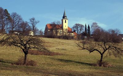
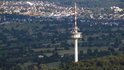
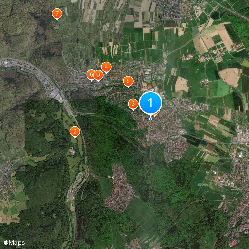
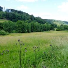
Waldbronn is a municipality in Karlsruhe district made up of three merged districts on elevated terrain with mixed landscape features. The terrain shifts between forested slopes and open areas, creating a varied natural setting for the communities.
The current municipality formed in 1972 when two districts merged, following the earlier integration of a third district. This union brought together communities that had existed separately before.
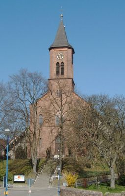
The three districts of Waldbronn maintain their own traditions through local festivals and clubs that shape community life throughout the year. These local connections are visible in everyday activities and create a sense of belonging among residents.
The municipality connects to Karlsruhe via train service, giving visitors easy access to the wider region. Being on the edge of elevated terrain means walkers and nature lovers can reach various routes and viewpoints.
Official recognition as a spa town came in 1994 based on the therapeutic properties of the natural hot springs that rise from underground. These waters draw visitors interested in the healing effects of mineral water.
Location: Landkreis Karlsruhe
Location: Bezirksamt Ettlingen
Elevation above the sea: 267 m
Shares border with: Ettlingen, Karlsruhe
Website: https://waldbronn.de
GPS coordinates: 48.92444,8.47583
Latest update: December 6, 2025 21:31
Ettlingen Palace
5.4 km
Fernmeldeturm Karlsruhe-Grünwettersbach
4 km
Barbarakapelle
2.5 km
Bismarck Tower
4.5 km
Schluttenbacher Linde
5.9 km
Burg Langensteinbach
2.6 km
Albtal und Seitentäler
1.6 km
Ruine Wolfartsweier
5.5 km
Wattkopf
3.9 km
St. Martin
5.2 km
Kälberklamm und Hasenklamm
2.7 km
Sender Wattkopf
4 km
Ettlingen Synagogue
5 km
Evangelische Kirche Grünwettersbach
3.9 km
Evangelische Jakobskirche
5.9 km
Karlsbad community library
2.5 km
Kälberklamm und Hasenklamm
2.7 km
Gut Batzenhof
4.1 km
Musikantenbrunnen
5.4 km
Bocksbachtal (Landkreis Karlsruhe)
3.1 km
Karlsbader Bachlandschaften
4.2 km
Vorbergzone nördlich von Ettlingen
5.1 km
Protestant Church
3 km
1 Drillingseiche an der Schöllbronner Steige
4 km
Steinbrunnenquelle
4.2 km
Feuchtgebiet Kuhbrunnenwiesen
4.5 km
Grünwettersbacher Wald-Hatzengraben
3.6 km
2 Mammutbäume beim Watthaldenpark
4.7 kmVisited this place? Tap the stars to rate it and share your experience / photos with the community! Try now! You can cancel it anytime.
Discover hidden gems everywhere you go!
From secret cafés to breathtaking viewpoints, skip the crowded tourist spots and find places that match your style. Our app makes it easy with voice search, smart filtering, route optimization, and insider tips from travelers worldwide. Download now for the complete mobile experience.
A unique approach to discovering new places❞
— Le Figaro
All the places worth exploring❞
— France Info
A tailor-made excursion in just a few clicks❞
— 20 Minutes