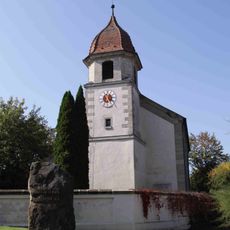
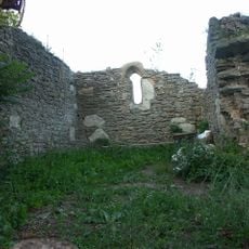
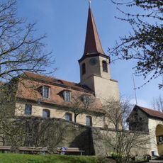
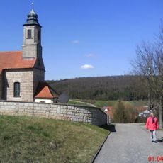
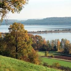
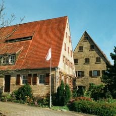
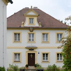
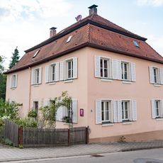
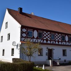
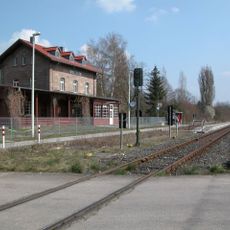
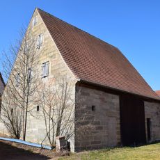
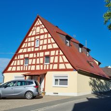
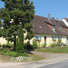
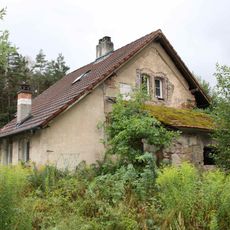
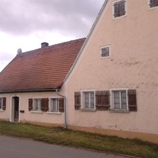
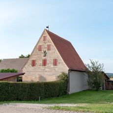
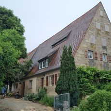
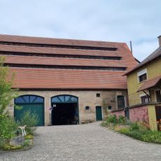
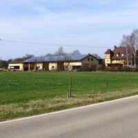
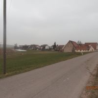
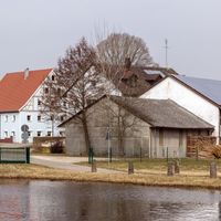
Pfofeld, municipality of Germany
Location: Weißenburg-Gunzenhausen
Elevation above the sea: 446 m
Part of: Verwaltungsgemeinschaft Gunzenhausen
Shares border with: Absberg, Haundorf, Theilenhofen, Pleinfeld, Gunzenhausen
Website: http://pfofeld.de
GPS coordinates: 49.11667,10.83333
Latest update: March 5, 2025 23:14
Castrum Iciniacum
3.2 km
Burg Absberg
4.5 km
Brombachmoor
1.8 km
St. Bartholomäus
4 km
Holy Cross Chapel
2.3 km
Halbinsel im Kleinen Brombachsee
4 km
St. Michael Church
1.3 km
Grafenmühle
5 km
Gasthof Zum Tannhäuser
4.1 km
St. Nikolaus (Dorsbrunn)
6 km
Landschaftsschutzgebiet "Schutz von Landschaftsteilen - Kleiner Brombachsee"
3.7 km
Landschaftsschutzgebiet Südhang Absberg
4.4 km
Ritter-Konrad-Straße 15
4.6 km
Katholischer Pfarrhof (Absberg)
4.6 km
Pfarrhaus Thannhausen
4 km
Hofkapelle Ritter-Konrad-Straße 15 in Absberg
4.7 km
Bauernhaus
3.5 km
Langlau station building
1.9 km
Erdkastell Theilenhofen
3.2 km
Scheune Fallhausstraße 1 in Absberg
3.8 km
Ehemaliges Wohnstallhaus
4.2 km
Ehemaliges Bauernhaus
1.5 km
Ehemaliges Bahnwärterhaus der Ludwig-Süd-Nordbahn
785 m
Bauernhaus
1.1 km
Scheunen
3.8 km
Residential stable house Ritter-Konrad-Straße 13
4.6 km
Coat of arms of the Teutonic Order
4.2 km
Scheune
4.2 kmReviews
Visited this place? Tap the stars to rate it and share your experience / photos with the community! Try now! You can cancel it anytime.
Discover hidden gems everywhere you go!
From secret cafés to breathtaking viewpoints, skip the crowded tourist spots and find places that match your style. Our app makes it easy with voice search, smart filtering, route optimization, and insider tips from travelers worldwide. Download now for the complete mobile experience.
A unique approach to discovering new places❞
— Le Figaro
All the places worth exploring❞
— France Info
A tailor-made excursion in just a few clicks❞
— 20 Minutes