Enable Location

We need your location to show you interesting places around you

Discover nearby places

Find interesting locations and hidden gems around you

Precise directions

Get accurate directions and distances to places

Your location is never shared with other users. It's only used when you tap the location button.

Weißenburg-Gunzenhausen

Log in to your account

Start exploring — it's free

Trusted by 62,844 travelers worldwide

Continue with Google
Continue with Apple
or

We will send you a code to connect

By continuing, you accept our Terms and Conditions and our Privacy Policy

Check your inbox

We've sent a pincode in your inbox. Please enter the code below.

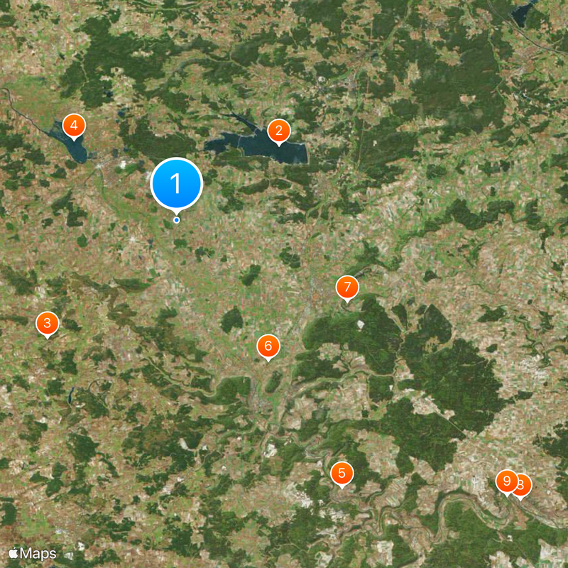
Weißenburg-Gunzenhausen, Administrative district in Middle Franconia, Germany

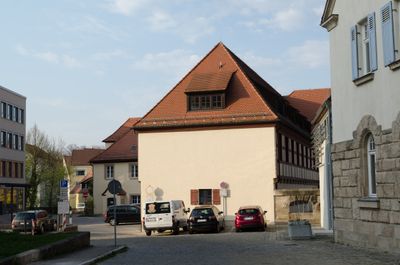
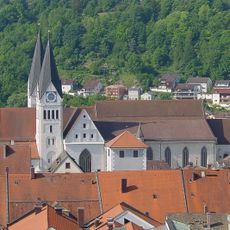
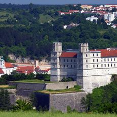
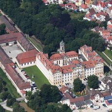
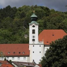
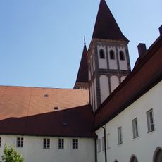
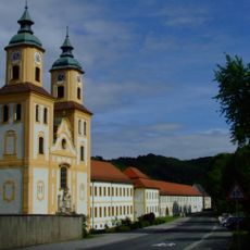
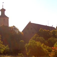
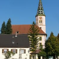
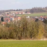
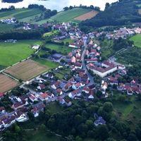
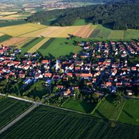
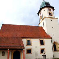
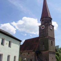
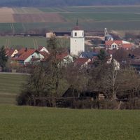
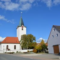
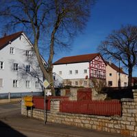
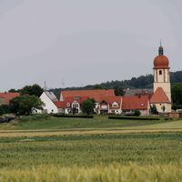
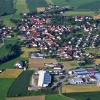
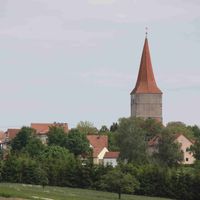
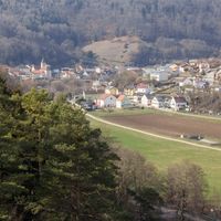
Weißenburg-Gunzenhausen is an administrative district in Middle Franconia encompassing 27 municipalities spread between Nuremberg and the Altmühl river valley. The area combines rural countryside with small town centers distributed across the district.

The district was formed in 1972 through the merger of several administrative regions, creating a unified district in Middle Franconia. This consolidation brought together different historical territories under a single administration.

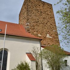
The district keeps Franconian traditions alive through local festivals, markets, and events held year-round in its small towns. These celebrations show how the people here connect with their heritage and community.

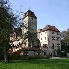
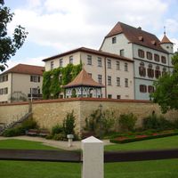
Visitors can orient themselves around the two main towns of Weißenburg and Gunzenhausen, where key facilities are located. The best way to explore the region is by personal vehicle, since communities are spread across the area.

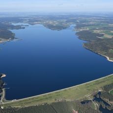
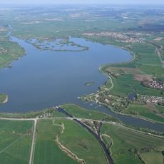
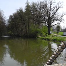
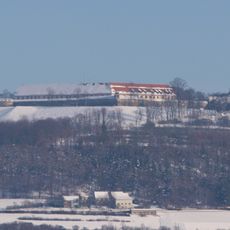
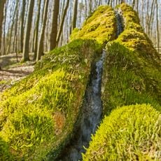
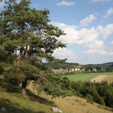
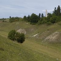
The region is home to the Brombachmoor natural landscape and spans various elevations from the Hahnenkamm mountains to the Altmühl valley. This varied terrain offers different ecosystems and walking opportunities for visitors.

The community of curious travelers

AroundUs brings together thousands of curated places, local tips, and hidden gems, enriched daily by 60,000 contributors worldwide.

Start exploring
Location
Inception
July 1, 1972
Capital city
Weißenburg in Bayern
Elevation above the sea
452 m
Part of
Franconia
Shares border with
Ansbach, Donau-Ries, Eichstätt district, Roth
GPS coordinates
49.08000,10.83000
Latest update
December 14, 2025 20:20
« Weißenburg-Gunzenhausen - Administrative district in Middle Franconia, Germany » is provided by Around Us (aroundus.com). Images and texts are derived from Wikimedia project under a Creative Commons license. You are allowed to copy, distribute, and modify copies of this page, under the conditions set by the license, as long as this note is clearly visible.

Discover hidden gems everywhere you go!

From secret cafés to breathtaking viewpoints, skip the crowded tourist spots and find places that match your style. Our app makes it easy with voice search, smart filtering, route optimization, and insider tips from travelers worldwide. Download now for the complete mobile experience.

Around Us App Screenshot

A unique approach to discovering new places

Le Figaro

All the places worth exploring

France Info

A tailor-made excursion in just a few clicks

20 Minutes

Around Us
Travel Guide & Maps
Download

Send to your phone

QR Code
1

Open the camera app on your mobile.

2

Point at the QR code with your camera. A notification will appear.

3

Tap the notification to open the link.