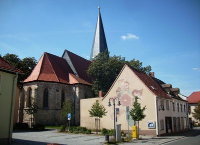
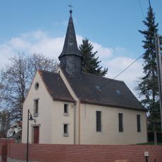
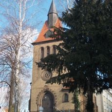
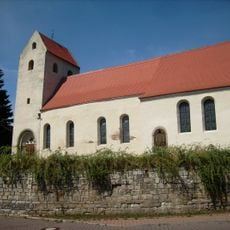
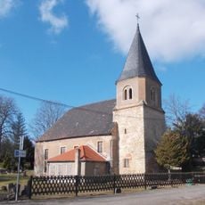
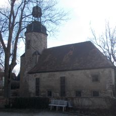
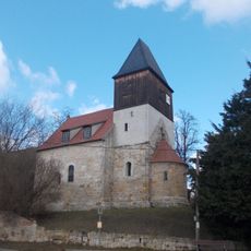
Hohenmölsen, municipality of Germany
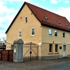
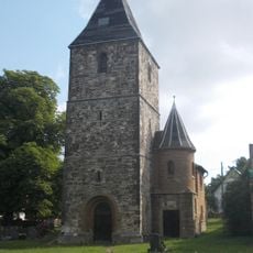
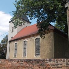
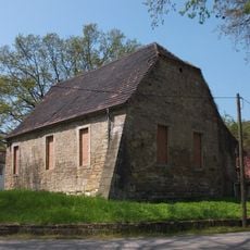
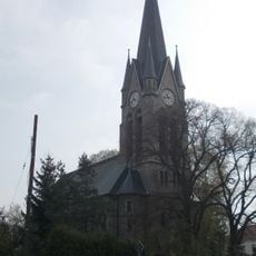
Hohenmölsen is an urban municipality located in Burgenlandkreis, Saxony-Anhalt. The town features residential neighborhoods, a town center with local shops and services, and connections to surrounding villages that make up the broader community.
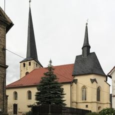
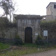
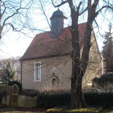
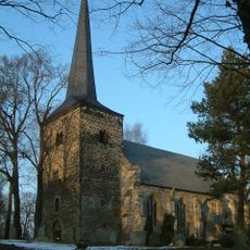
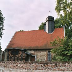
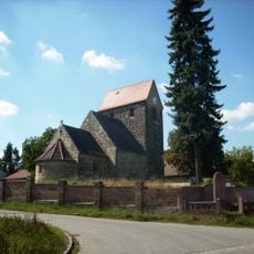
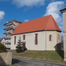
Hohenmölsen developed as a settlement in the region and was shaped by industrial growth during the 1800s and 1900s. The town served as an important center for trade and craftsmanship in the area for centuries.
The town is accessible by public transport from nearby cities and offers basic local services and shops for daily needs. Visitors will find amenities typical of a small German town, making it easy to navigate and spend time exploring the community.
The community of curious travelers
AroundUs brings together thousands of curated places, local tips, and hidden gems, enriched daily by 60,000 contributors worldwide.