
Apfeldorf, municipality of Germany
Location: Landsberg am Lech
Elevation above the sea: 665 m
Part of: Verwaltungsgemeinschaft Reichling
Shares border with: Peiting, Wessobrunn, Kinsau, Rott
Website: http://apfeldorf.de
GPS coordinates: 47.90000,10.93333
Latest update: March 20, 2025 10:10

Lechstaustufe 8a – Kinsau
2.8 km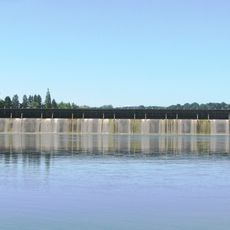
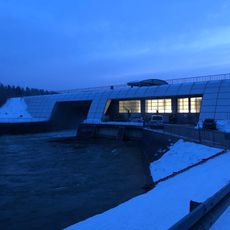
Lechstaustufe 9
354 m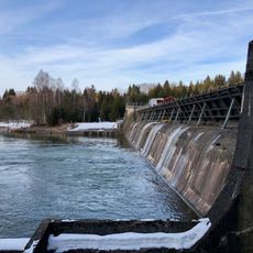
Lechstaustufe 8 – Sperber
4.2 km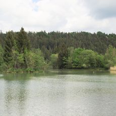
Steilhalden und Flussauen des Lechs zwischen Kinsau und Hohenfurch
3.7 km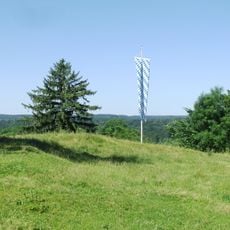
Burgstall Rauenlechsberg
380 m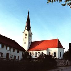
St. Johannes (Rott)
2.9 km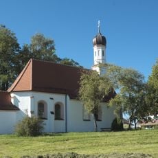
St. Ottilia (Rott, Landkreis Landsberg am Lech)
3.1 km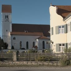
Heilig Geist
596 m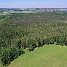
Schwaigwaldmoos
4.2 km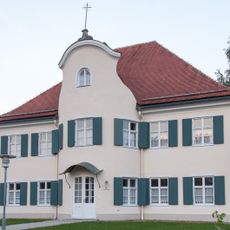
Pfarrhaus
624 m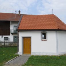
Kapelle
858 m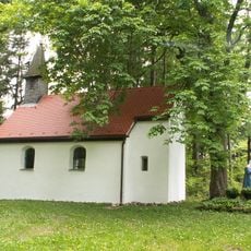
Kalvarienberg; Kapelle
2.4 km
Kapelle, sogenannte Haldenkapelle
445 m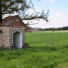
Feldkapelle
2.7 km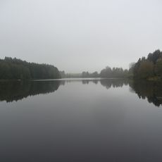
Schutz des Engelsrieder Sees in der Gemeinde Rott als LSG
3.6 km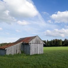
Inschutznahme des Breiten Mooses, Gemeinde Apfeldorf und Birkland unter Landschaftsschutz
4.6 km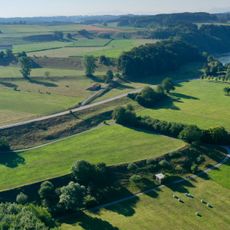
Terrassentreppe S von Apfeldorf
1.3 km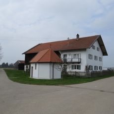
Ehemaliges Kleinbauernhaus
914 m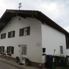
Ehemaliges Flößerhaus
542 m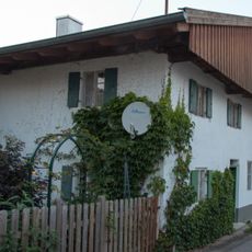
Ehemaliges Doppelhaus
671 m
Cultural heritage D-1-8131-0001 in Apfeldorf
1.6 km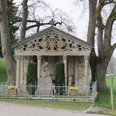
Kriegerdenkmal
3.9 km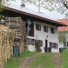
Ehemaliges Kleinbauernhaus
460 m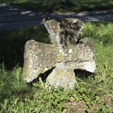
Steinkreuz
3.1 km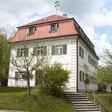
Rott Village Museum
2.8 km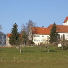
St. Anna
4 km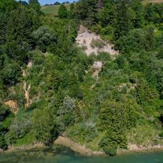
Lechufer E von Kinsau
2 km
Ehemals Pfarrhaus
2.8 kmReviews
Visited this place? Tap the stars to rate it and share your experience / photos with the community! Try now! You can cancel it anytime.
Discover hidden gems everywhere you go!
From secret cafés to breathtaking viewpoints, skip the crowded tourist spots and find places that match your style. Our app makes it easy with voice search, smart filtering, route optimization, and insider tips from travelers worldwide. Download now for the complete mobile experience.

A unique approach to discovering new places❞
— Le Figaro
All the places worth exploring❞
— France Info
A tailor-made excursion in just a few clicks❞
— 20 Minutes