Enable Location

We need your location to show you interesting places around you

Discover nearby places

Find interesting locations and hidden gems around you

Precise directions

Get accurate directions and distances to places

Your location is never shared with other users. It's only used when you tap the location button.

Uplengen

Log in to your account

Start exploring — it's free

Trusted by 63,932 travelers worldwide

Continue with Google
Continue with Apple
or

We will send you a code to connect

By continuing, you accept our Terms and Conditions and our Privacy Policy

Check your inbox

We've sent a pincode in your inbox. Please enter the code below.

Discussion Reviews 1 Photos
16.5k Popularity

Uplengen, municipality of Germany

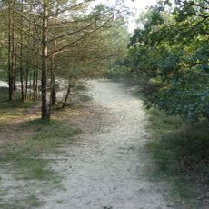
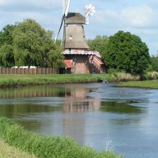
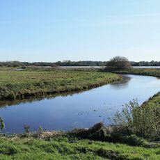
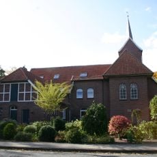
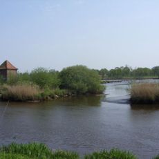
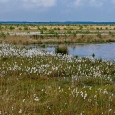
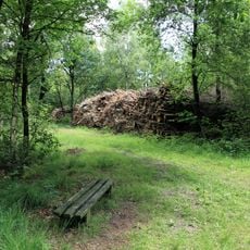
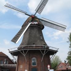
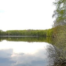
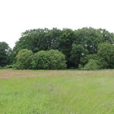
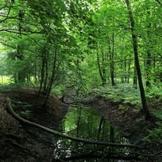
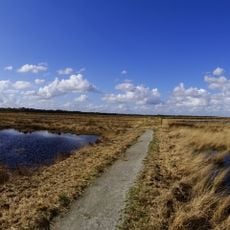
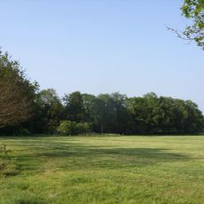
Uplengen is a rural municipality in the Leer district of Lower Saxony, made up of several small villages and farms across flat terrain. The landscape is defined by open fields, small waterways, and traditional farmhouses, with landmarks like the windmill in Remels showing the area's historic connection to rural life.

Uplengen has a long history as a rural settlement closely tied to farming and small communities. The region has been shaped by farmers for many generations, with their way of life and traditions reflected in the old farmhouses and windmills that still stand today.

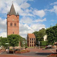
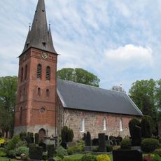
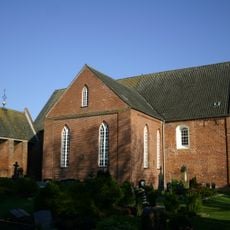
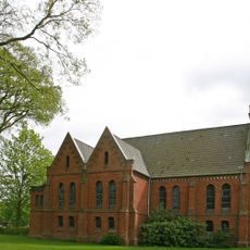
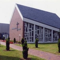
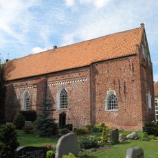
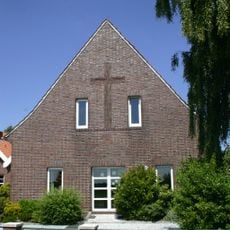
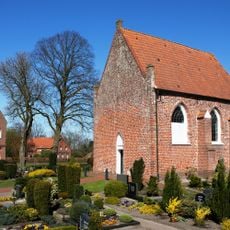
The community is rooted in Lutheran traditions, visible in the simple churches that host regular services and community gatherings. Residents celebrate seasonal festivals and share communal meals that bring villagers together and keep local customs alive.

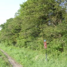
Visitors can best explore Uplengen on foot or by bike, as the quiet roads and open fields are ideal for leisurely walking. The area is easy to reach by car, and while there are no large train stations, nearby towns offer train services for longer journeys.

You can still see traditional farming methods in use today in Uplengen, as some old farms have preserved these practices. This living history makes visits here a rare chance to experience rural German life in its most authentic form.

The community of curious travelers

AroundUs brings together thousands of curated places, local tips, and hidden gems, enriched daily by 60,000 contributors worldwide.

Start exploring
Location
Elevation above the sea
6 m
Shares border with
Detern, Filsum, Zetel
GPS coordinates
53.26667,7.75000
Latest update
February 17, 2026 02:00
Reviews
Share your experience

No review yet

Discussions
Start a discussion...

No discussion yet

« Uplengen - municipality of Germany » is provided by Around Us (aroundus.com). Images and texts are derived from Wikimedia project under a Creative Commons license. You are allowed to copy, distribute, and modify copies of this page, under the conditions set by the license, as long as this note is clearly visible.

Discover hidden gems everywhere you go!

From secret cafés to breathtaking viewpoints, skip the crowded tourist spots and find places that match your style. Our app makes it easy with voice search, smart filtering, route optimization, and insider tips from travelers worldwide. Download now for the complete mobile experience.

Around Us App Screenshot

A unique approach to discovering new places

Le Figaro

All the places worth exploring

France Info

A tailor-made excursion in just a few clicks

20 Minutes

Around Us
Travel Guide & Maps
Download

Send to your phone

QR Code
1

Open the camera app on your mobile.

2

Point at the QR code with your camera. A notification will appear.

3

Tap the notification to open the link.