
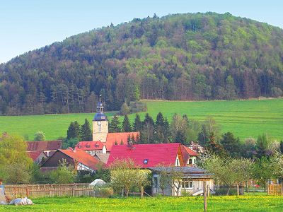
Belrieth, municipality of Germany
Location: Schmalkalden-Meiningen
Elevation above the sea: 314 m
Shares border with: Rohr, Dillstädt
Website: http://belrieth.eu
GPS coordinates: 50.52842,10.49569
Latest update: March 3, 2025 11:25
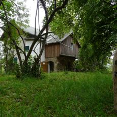
Bakuninhütte
4.5 km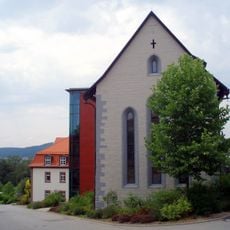
Kloster Rohr
5.2 km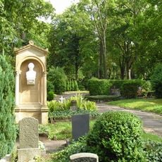
Parkfriedhof Meiningen
6.8 km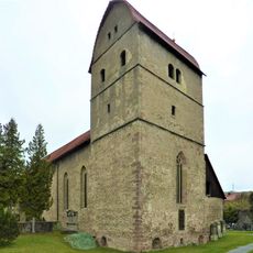
Michaeliskirche Rohr
5.6 km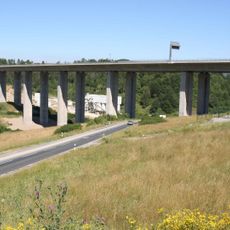
Talbrücke Schindgraben
6.1 km
Burg Untermaßfeld
5.8 km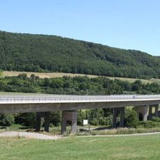
Talbrücke Haseltal
3.1 km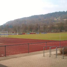
Stadion Maßfelder Weg
6.6 km
Landtag of Saxe-Meiningen
7.1 km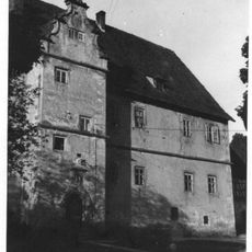
Hinteres Schloss Henfstädt
6.6 km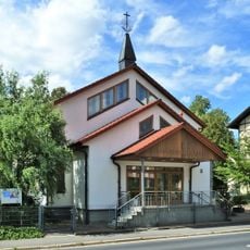
Neuapostolische Kirche
6.9 km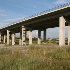
Talbrücke Rotes Tal
7.4 km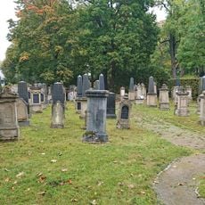
Jewish cemetery, Meiningen
6.8 km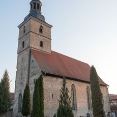
St. Stephan (Obermaßfeld)
3.9 km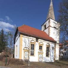
St. Mauritius
6.2 km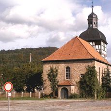
Dorfkirche Untermaßfeld
5.7 km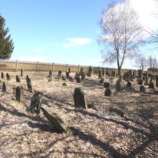
Jewish cemetery Marisfeld
6.4 km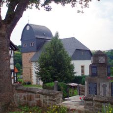
Protestant Church Dillstädt
6.6 km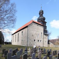
Kirchenburg Leutersdorf
4.5 km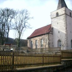
Protestant Church (Ritschenhausen)
4.9 km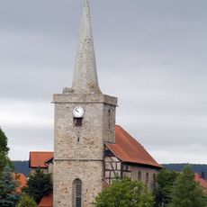
Church in Einhausen (Thüringen)
2.4 km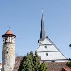
Protestant Church (Vachdorf)
3 km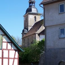
St. Peter und Paul (Jüchsen)
5.4 km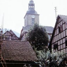
Protestant Church (Belrieth)
167 m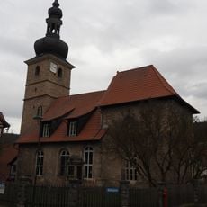
Church Neubrunn
3.8 km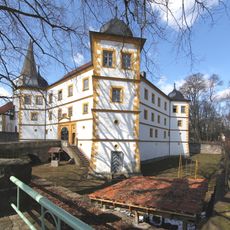
Marisfeld Castle
6.2 km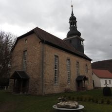
Protestant Church Ellingshausen
2.6 km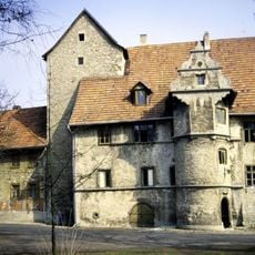
Castle Ellingshausen
2.6 kmVisited this place? Tap the stars to rate it and share your experience / photos with the community! Try now! You can cancel it anytime.
Discover hidden gems everywhere you go!
From secret cafés to breathtaking viewpoints, skip the crowded tourist spots and find places that match your style. Our app makes it easy with voice search, smart filtering, route optimization, and insider tips from travelers worldwide. Download now for the complete mobile experience.

A unique approach to discovering new places❞
— Le Figaro
All the places worth exploring❞
— France Info
A tailor-made excursion in just a few clicks❞
— 20 Minutes