
Niedergebra, municipality of Germany
Location: Erfüllende Gemeinde Bleicherode
Location: Nordhausen district
Elevation above the sea: 240 m
Website: https://bleicherode.de
GPS coordinates: 51.41667,10.59972
Latest update: March 31, 2025 17:46
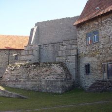
Burg Lohra
2.1 km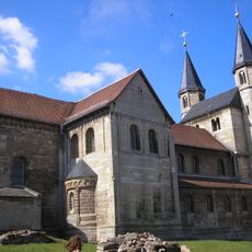
Münchenlohra Abbey
4.7 km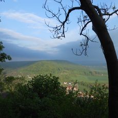
Wöbelsburg
7.3 km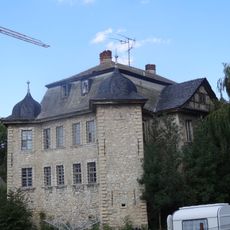
Schloss Niedergebra
668 m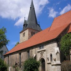
St.-Marien-Kirche Bleicherode
3.2 km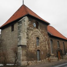
Kirche Elende
2.8 km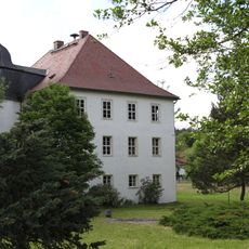
Schloss Almerswind
7 km
Westliche Hainleite
4.7 km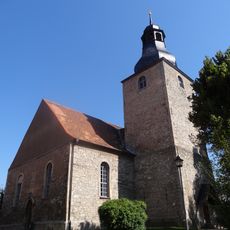
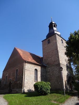
St. Nikolai
635 m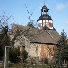
St. Maria Magdalena (Hainrode)
6.8 km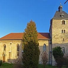
St. Petri (Sollstedt)
4.3 km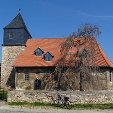
Church in Pustleben
5.8 km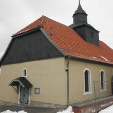
St. Bonifatius (Friedrichslohra, römisch-katholisch)
2.4 km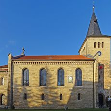
St. Elisabeth (Wülfingerode)
5.7 km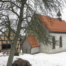
St. Stephanus (Großwenden)
3.2 km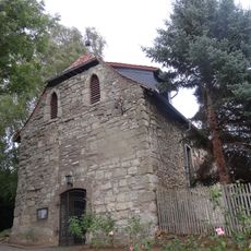
St. Johannis
5.5 km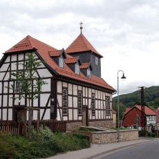
Protestant Church (Rehungen)
6.6 km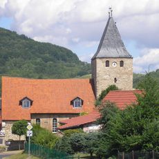
St. Johannis
1.3 km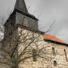
St. Andreas
5.3 km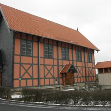
Evangelische Kirche St. Bonifatius
2.2 km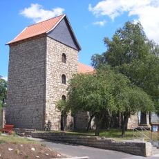
St. Petri (Oberdorf)
5.2 km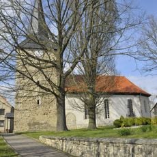
St. Martin (Kehmstedt)
6.4 km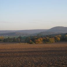
Bleicheröder Berge
6.3 km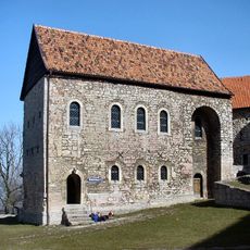
Burgkapelle Lohra
2.2 km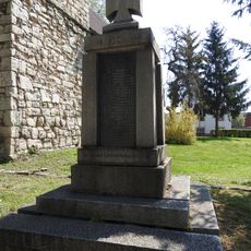
War memorial Nohra (Wipper)
7.3 km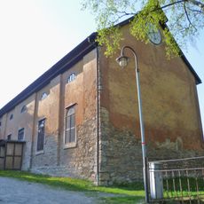
St. Johannis (Sondershausen)
6.2 km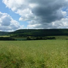
Westliche Hainleite - Wöbelsburg
4.6 km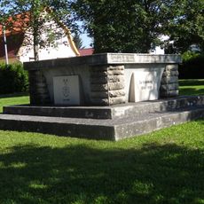
War memorial Niedergebra
490 mVisited this place? Tap the stars to rate it and share your experience / photos with the community! Try now! You can cancel it anytime.
Discover hidden gems everywhere you go!
From secret cafés to breathtaking viewpoints, skip the crowded tourist spots and find places that match your style. Our app makes it easy with voice search, smart filtering, route optimization, and insider tips from travelers worldwide. Download now for the complete mobile experience.

A unique approach to discovering new places❞
— Le Figaro
All the places worth exploring❞
— France Info
A tailor-made excursion in just a few clicks❞
— 20 Minutes