
Volkenschwand, municipality in the district of Kelheim in Bavaria in Germany
Location: Kelheim
Elevation above the sea: 503 m
Part of: Verwaltungsgemeinschaft Mainburg
Shares border with: Pfeffenhausen, Attenhofen
Website: https://volkenschwand.de
GPS coordinates: 48.60000,11.88333
Latest update: March 4, 2025 07:09
St. Erhard (Rainertshausen)
3.8 km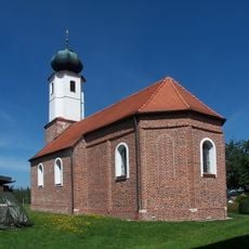
St. Korona
5.4 km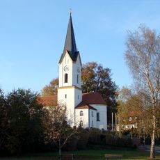
St. Margareth (Margarethenried)
3.8 km
St. Stephan (Sielstetten)
2.8 km
Cultural heritage D-2-7336-0156 in Mainburg
6 km
St. Bartholomäus
5.5 km
Sankt Ulrich
2.6 km
Katholische Kirche Sankt Jakobus der Ältere
3.4 km
St. Petrus
6.3 km
Erhardsbrunnkapelle Rainertshausen
3.8 km
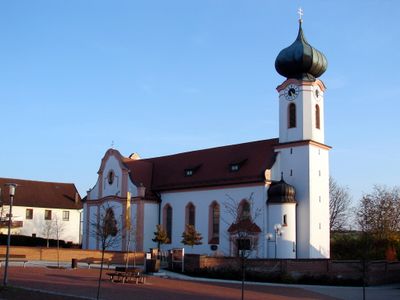
Katholische Wallfahrtskirche St. Simon
5.4 km
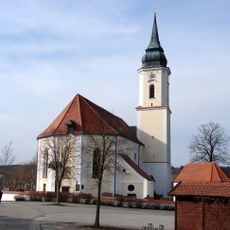
St. Johannes Baptist und Evangelist
3.4 km
St.Stephan, Kleingundertshausen
5.7 km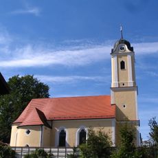
Katholische Pfarrkirche St. Nikolaus
6.1 km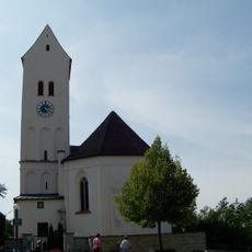
Pfarrkirche Mariä Himmelfahrt
7.5 km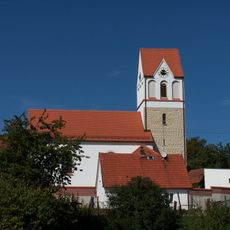
Katholische Pfarrkirche St. Georg
7 km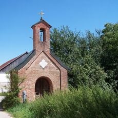
Kapelle zur Heilige Familie
3.6 km
Muttergotteskapelle
1.1 km
Hl. Kreuz und Schmerzhafte Muttergottes (Großgundertshausen)
4.4 km
Kapelle Dietrichsdorf
2.2 km
St. Ägidius
729 m
Katholische Kirche St. Katharina
6.4 km
Katholische Kapelle Maria Hilf
3.7 km
Katholische Kapelle St. Andreas
7 km
Kirche
6.5 km
St. Katharina
3.1 km
Ehemaliger Mesnerhof
6.6 km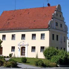
Pfarrhof
6.5 kmVisited this place? Tap the stars to rate it and share your experience / photos with the community! Try now! You can cancel it anytime.
Discover hidden gems everywhere you go!
From secret cafés to breathtaking viewpoints, skip the crowded tourist spots and find places that match your style. Our app makes it easy with voice search, smart filtering, route optimization, and insider tips from travelers worldwide. Download now for the complete mobile experience.

A unique approach to discovering new places❞
— Le Figaro
All the places worth exploring❞
— France Info
A tailor-made excursion in just a few clicks❞
— 20 Minutes