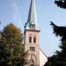
Hilter, municipality of Germany
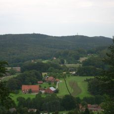
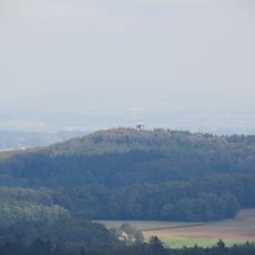
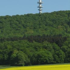
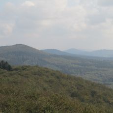
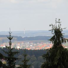
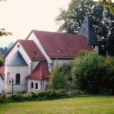
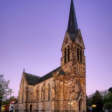
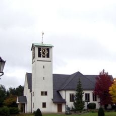
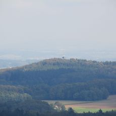
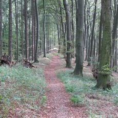
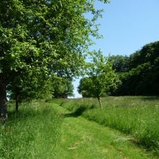
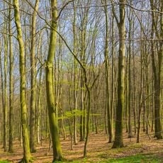
Hilter is a small administrative division in the Osnabrück district, situated within the forested hills of the Teutoburg region in Lower Saxony. The landscape consists of open fields, scattered houses with gardens, and dense woodlands that surround the town on nearly all sides.
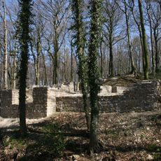
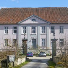
The settlement appeared in written records in 1144 as lands controlled by bishops and evolved through centuries as small farming communities. During the 1800s, ochre mining became important to the local economy, leaving visible marks on the landscape through pits and earthworks until operations ceased around 1900.
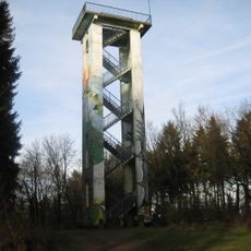
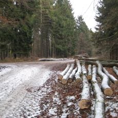
The town's connection to nature shapes how residents spend their days, with outdoor activities like hiking and cycling deeply woven into local life. This focus on the countryside reflects how the community has historically organized itself around forests and farmland rather than urban conveniences.
The town is most easily reached by car with good road connections to nearby cities like Osnabrück. While public transportation is limited, train services to the main station in Osnabrück run about 20 minutes away, making day trips to larger centers straightforward.
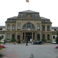
A large margarine and food oil factory has operated for over a century and remains the major employer for many local residents. This industrial facility demonstrates how the agricultural tradition transformed into modern food manufacturing while staying rooted in the rural setting.
The community of curious travelers
AroundUs brings together thousands of curated places, local tips, and hidden gems, enriched daily by 60,000 contributors worldwide.