
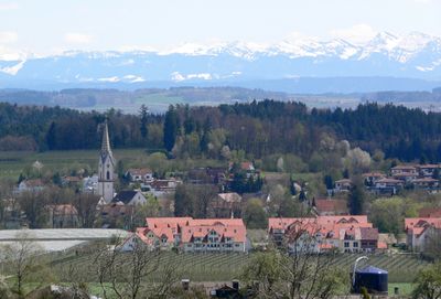
Oberteuringen, municipality in Baden-Württemberg, Germany
Location: Bodenseekreis
Location: Markdorf GVV
Elevation above the sea: 451 m
Website: http://oberteuringen.de
GPS coordinates: 47.72500,9.47083
Latest update: March 3, 2025 02:25
Gehrenberg
3.9 km
Christoph Liechtenstein
5.9 km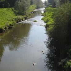
Rotach
3.7 km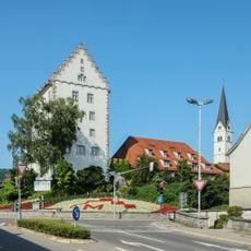
Bischofschloss
6.1 km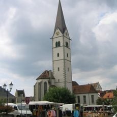
Pfarrkirche St. Nikolaus
6 km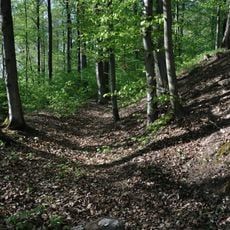
Burg Altraderach
4.7 km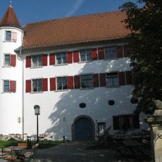
Humpisschloss Brochenzell
6.3 km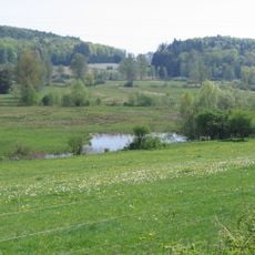
Hepbacher - Leimbacher Ried
3.3 km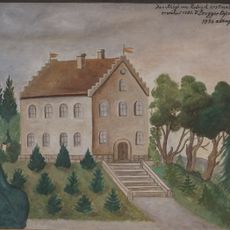
Burgstelle Neu Raderach
4 km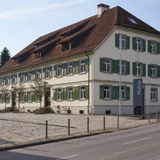
Kulturhaus Mühle
210 m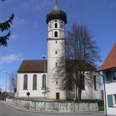
Pfarrkirche St. Gangolf
6.3 km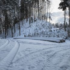
Schloßbühl Burg (Deggenhausertal)
7.5 km
Haldenberg
3.7 km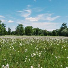
Rotachtal Bodensee
3.4 km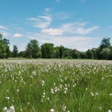
Altweiherwiese
1.1 km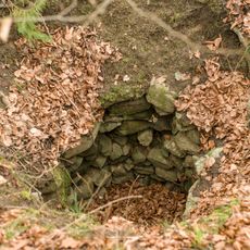
Schlossbühl Limpach
7.1 km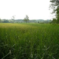
Altweiherwiese und Taldorfer Bach
820 m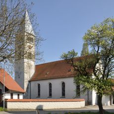
Pfarrkirche St. Columban Bavendorf
6.4 km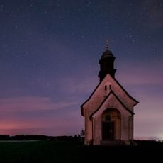
Haldenbergkapelle
4 km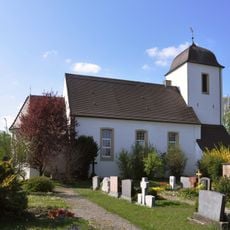
Evangelische Kirche Bavendorf
5.9 km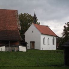
Kapelle St. Maria Adelsreute
5.7 km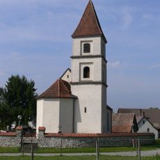
Mater Dolorosa Church, Alberskirch
4.1 km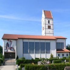
Pfarrkirche St. Johannes Baptist
4.4 km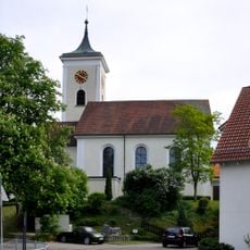
Pfarrkirche St. Nikolaus
4.5 km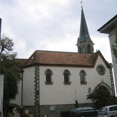
Evangelische Kirche
5.9 km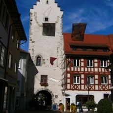
Untertor in Markdorf
6.1 km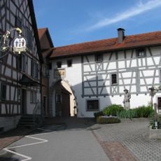
Obertor in Markdorf
5.8 km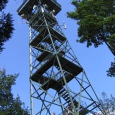
Gehrenberg Tower
5.2 kmVisited this place? Tap the stars to rate it and share your experience / photos with the community! Try now! You can cancel it anytime.
Discover hidden gems everywhere you go!
From secret cafés to breathtaking viewpoints, skip the crowded tourist spots and find places that match your style. Our app makes it easy with voice search, smart filtering, route optimization, and insider tips from travelers worldwide. Download now for the complete mobile experience.

A unique approach to discovering new places❞
— Le Figaro
All the places worth exploring❞
— France Info
A tailor-made excursion in just a few clicks❞
— 20 Minutes