Ostelsheim, municipality in Baden-Württemberg, Germany
Location: Calw District
Location: Althengstett GVV
Elevation above the sea: 459 m
Shares border with: Gechingen, Althengstett, Weil der Stadt, Simmozheim, Grafenau
Website: http://ostelsheim.de
GPS coordinates: 48.72694,8.84778
Latest update: March 4, 2025 07:52
Bernhard
4.1 km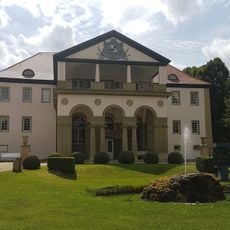
Schloss Dätzingen
3 km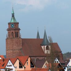
St. Peter und Paul
3.1 km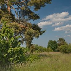
Venusberg - Wolfsäcker - Besental/Halde
4.2 km
Naturschutzgebiet Hacksberg und Steckental
1.5 km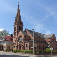
Johannes-Brenz-Kirche (Weil der Stadt)
3.2 km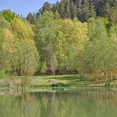
Calwer Heckengäu
3.7 km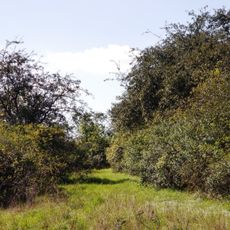
Mittelberg
3.4 km
Hecken- und Schlehengäu, Gemarkung Gechingen
3.7 km
Kappelwiesen-Beim Roten Brunnen-Salzwiesen
2 km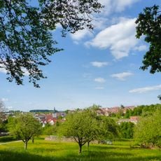
Grafenau
3.6 km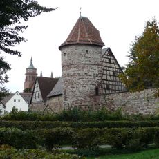
Rabenturm
3.2 km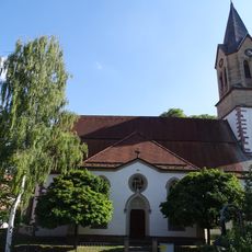
Martinskirche Gechingen
3.9 km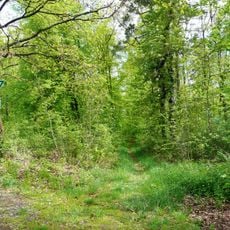
Hacksberg und Steckental
2 km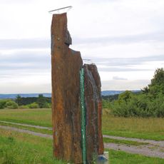
Kaidan way there
4.2 km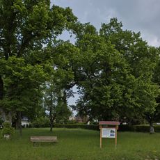
Linden am Sedanplatz
4.1 km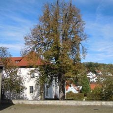
Kastanie im Schloßhof
3 km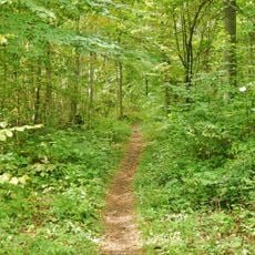
Hacksberg und Steckental (Landkreis Calw)
919 m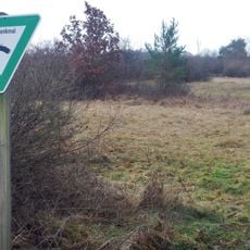
Halbtrockenrasenfläche Oberer Käppelesberg
3 km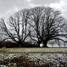
3 Linden
3.7 km
3 Rotbuchen am Hartweg
2.6 km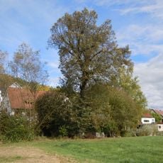
2 Linden am Altbach
2.6 km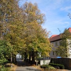
Lindenallee in der Schloßstraße (6 Winterlinden)
3 km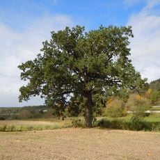
Eiche am Altbach
2.6 km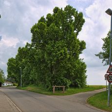
Lindenreihe und Grubbank
4 km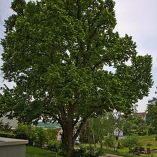
Große Linde
3.6 km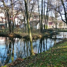
Schloßpark-Dätzingen
2.8 km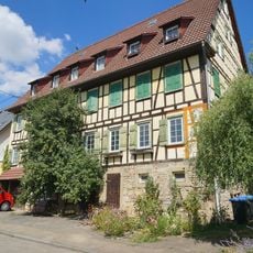
Lehenweiler Hauptstraße 12
4.1 kmVisited this place? Tap the stars to rate it and share your experience / photos with the community! Try now! You can cancel it anytime.
Discover hidden gems everywhere you go!
From secret cafés to breathtaking viewpoints, skip the crowded tourist spots and find places that match your style. Our app makes it easy with voice search, smart filtering, route optimization, and insider tips from travelers worldwide. Download now for the complete mobile experience.

A unique approach to discovering new places❞
— Le Figaro
All the places worth exploring❞
— France Info
A tailor-made excursion in just a few clicks❞
— 20 Minutes