
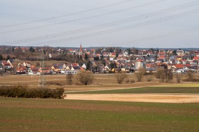
Großhabersdorf, municipality of Germany
Location: Fürth
Elevation above the sea: 341 m
Shares border with: Langenzenn, Cadolzburg, Ammerndorf, Roßtal, Heilsbronn, Dietenhofen, Wilhermsdorf
Website: https://grosshabersdorf.de
GPS coordinates: 49.40417,10.78806
Latest update: March 2, 2025 23:47
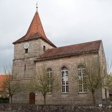
St. Johannes der Täufer
4.8 km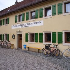
Münchzell
2.9 km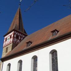
St. Johannes der Täufer
3.2 km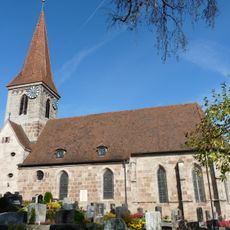
St. Walburg
102 m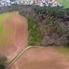
Burgstall Bürglein
3 km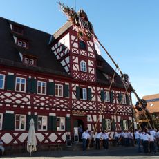
Gasthaus Zum roten Roß
18 m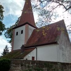
St. Maria Magdalena
4.1 km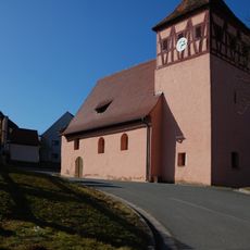
St. Matthäus
4.5 km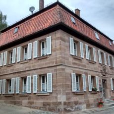
Pfarrhaus (Bürglein)
3.1 km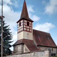
St. Bartholomäus
4 km
Weiherkette bei Oberreichenbach
4.6 km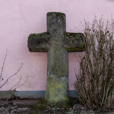
Wegkreuz
2.9 km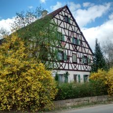
Hofanlage, Wohnstallhaus
3.1 km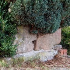
Wegkreuze
1.3 km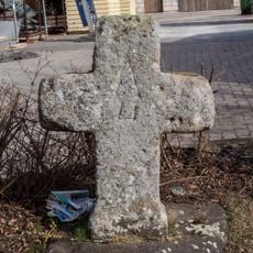
Wegkreuz
367 m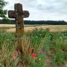
Steinkreuz bei Oberreichenbach
3.7 km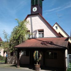
Ehemalige Schmiede
2.9 km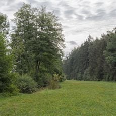
Bibert und Haselbach
4.1 km
Steinkreuz 1 in Schwaighausen
1.3 km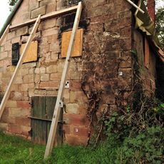
Sommerkellerhaus
4.5 km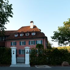
Sogenannte Schleifmühle
3.4 km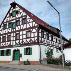
Gasthaus
3.2 km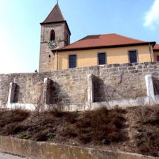
Friedhofsmauer Kirchbergstraße 6 in Großhabersdorf
2.5 km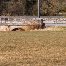
Einjochige Steinbrücke über die Bibert
1.2 km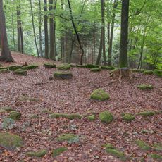
Siebenrichtersteine
2.9 km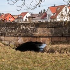
Einjochige Steinbrücke über den Mühlbach
1.2 km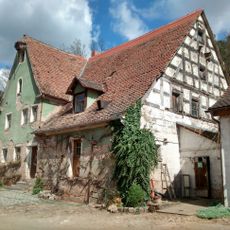
Ehemalige Mühle
3.5 km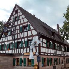
Gasthaus
3.2 kmVisited this place? Tap the stars to rate it and share your experience / photos with the community! Try now! You can cancel it anytime.
Discover hidden gems everywhere you go!
From secret cafés to breathtaking viewpoints, skip the crowded tourist spots and find places that match your style. Our app makes it easy with voice search, smart filtering, route optimization, and insider tips from travelers worldwide. Download now for the complete mobile experience.

A unique approach to discovering new places❞
— Le Figaro
All the places worth exploring❞
— France Info
A tailor-made excursion in just a few clicks❞
— 20 Minutes