
Kuchelmiß, municipality of Germany
Location: Rostock District
Elevation above the sea: 57 m
Website: http://amt-krakow-am-see.de/Kuchelmiss_90.html
GPS coordinates: 53.68306,12.36667
Latest update: March 25, 2025 07:29
Hofstraße 5
8.4 km
Shepherd beech tree of Dobbin
6.4 km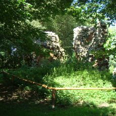
Grubenhagen Castle
8 km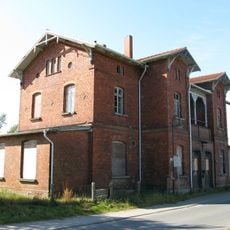
Lalendorf station
8.1 km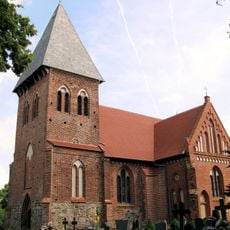
Church in Serrahn
2.4 km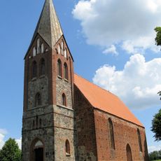
Church in Dobbin
7.7 km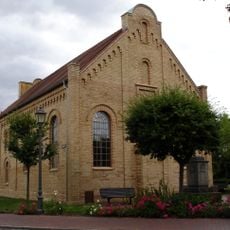
Krakow Synagogue
7.3 km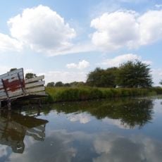
Krakower Obersee
10.3 km
Nebel
894 m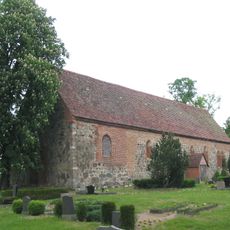
Church in Lüdershagen (Hoppenrade)
8 km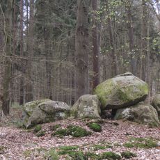
Großsteingrab Serrahn 2
3.1 km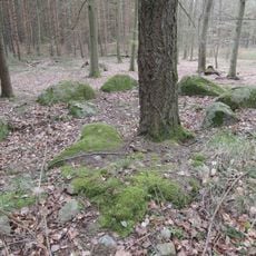
Großsteingrab Hallalit
6.2 km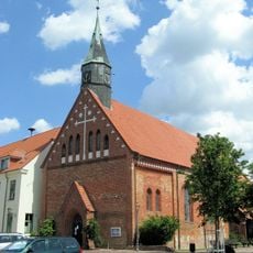
Stadtkirche Krakow
7.2 km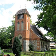
Church in Alt Sammit
9.8 km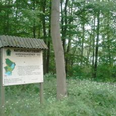
Ahrenshäger See
5.2 km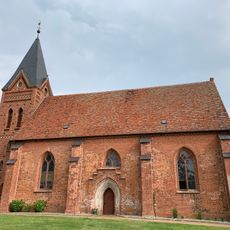
Church in Linstow
8.4 km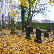
Jüdischer Friedhof
7.4 km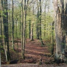
Großes Holz
2.5 km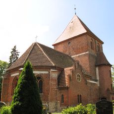
Church in Hohen Wangelin
8.8 km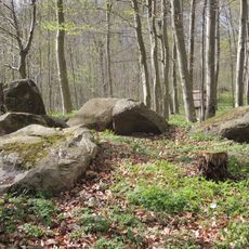
Großsteingrab Vogelsang
5.6 km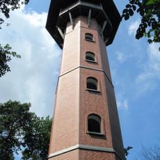
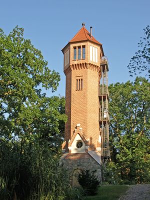
Observation Tower on Jörnberg
6.7 km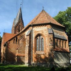
Church in Klaber
8.1 km
Wolhynier Umsiedlermuseum - Heimatverein Linstow e.V.
8.4 km
Nossentiner/Schwinzer Heide
8.8 km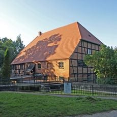
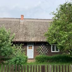
Wassermühle Kuchelmiß
967 m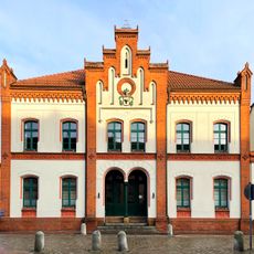
Town hall in Krakow am See
7.2 km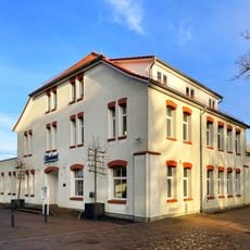
Seehotel
7.1 km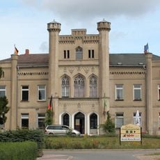
Gutshaus Charlottenthal
6.5 kmVisited this place? Tap the stars to rate it and share your experience / photos with the community! Try now! You can cancel it anytime.
Discover hidden gems everywhere you go!
From secret cafés to breathtaking viewpoints, skip the crowded tourist spots and find places that match your style. Our app makes it easy with voice search, smart filtering, route optimization, and insider tips from travelers worldwide. Download now for the complete mobile experience.

A unique approach to discovering new places❞
— Le Figaro
All the places worth exploring❞
— France Info
A tailor-made excursion in just a few clicks❞
— 20 Minutes