
Daldorf, municipality of Germany
Location: Segeberg
Elevation above the sea: 42 m
Website: http://amt-boostedt-rickling.de/index.php?id=daldorf
GPS coordinates: 54.01694,10.24972
Latest update: May 8, 2025 02:37
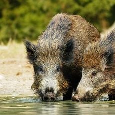
Trappenkamp, Naturerlebnisraum Erlebniswald
1.2 km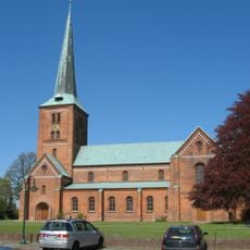
Marienkirche
9.8 km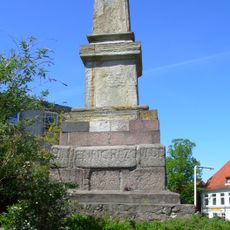
Rantzau-Obelisk
9.5 km
Ihlsee und Ihlwald
7.2 km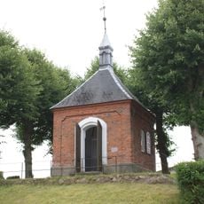
Rantzau-Kapelle
9.5 km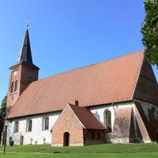
Vicelinkirche St. Jakobi Bornhöved
6.1 km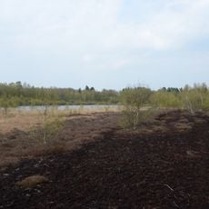
Tarbeker Moor
3.7 km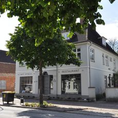
Wollspinnerei Blunck
9.4 km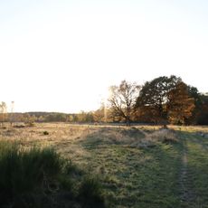
Kiebitzholmer Moor und Trentmoor
2.2 km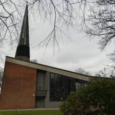
Friedenskirche
3.4 km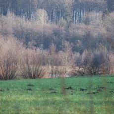
Fuhlensee und Umgebung
9 km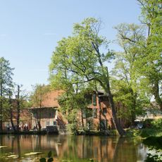
Water mill in Klein Rönnau
7.8 km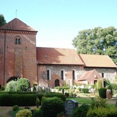
Kirche mit Ausstattung
9.5 km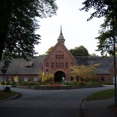
Gut Schönböken: Herrenhaus
8.4 km
Ehem. Kantorhaus
9.8 km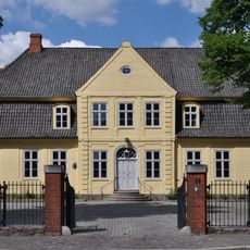
Hamburger Straße 25
9.6 km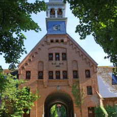
Gut Schönböken: Torhaus
8.2 km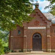
Friedhofskapelle
6.7 km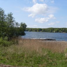
NSG Ihlsee und Ihlwald
7.2 km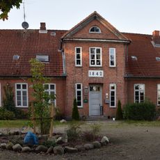
Kirchstraße 4
6 km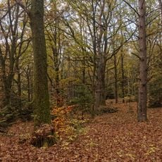
Großer Segeberger See
9.3 km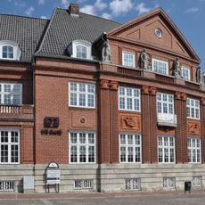
Kurhausstraße 1
9.7 km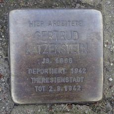
Stolperstein dedicated to Gertrud Katzenstein
8.8 km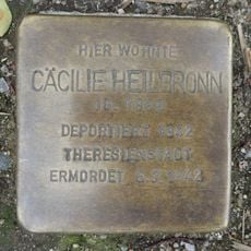
Stolperstein dedicated to Cäcilie Heilbronn
9.7 km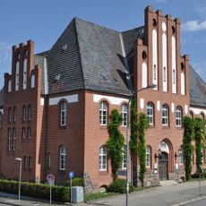
Hamburger Straße 29
9.5 km
Wohnhaus Kurhausstraße 21
9.5 km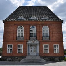
Kreishaus
9.7 km
Kurhausstraße 36
9.4 kmVisited this place? Tap the stars to rate it and share your experience / photos with the community! Try now! You can cancel it anytime.
Discover hidden gems everywhere you go!
From secret cafés to breathtaking viewpoints, skip the crowded tourist spots and find places that match your style. Our app makes it easy with voice search, smart filtering, route optimization, and insider tips from travelers worldwide. Download now for the complete mobile experience.

A unique approach to discovering new places❞
— Le Figaro
All the places worth exploring❞
— France Info
A tailor-made excursion in just a few clicks❞
— 20 Minutes