
Kirchbarkau, municipality of Germany
Location: Plön District
Elevation above the sea: 38 m
Website: http://amtpreetzland.de/Gemeinde-Kirchbarkau.kirchbarkau.0.html
GPS coordinates: 54.21667,10.15000
Latest update: April 18, 2025 13:21

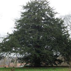
Flintbeker Eibe
5.9 km
Flintbek Church
5.9 km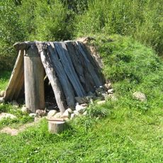
Gräberfeld von Flintbek
5 km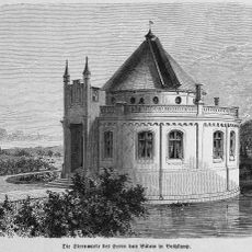
Bothkamp Observatory
1.7 km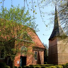
Katharinenkirche
784 m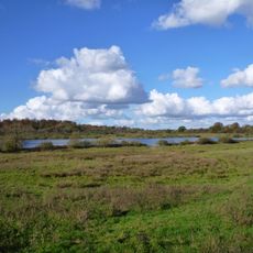
Lütjensee und Hochfelder See südöstlich Gut Bothkamp
2.1 km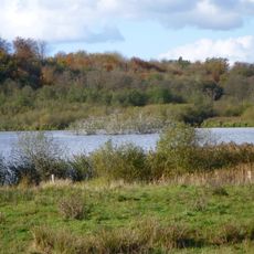
Hochfelder See
2.7 km
Museum Gate to prehistoric times
7.1 km
Ehrendenkmal Kühren
7.9 km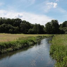
Landschaft der oberen Eider
7.2 km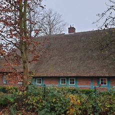
Fachhallenkate Kirchenstraße 18
785 m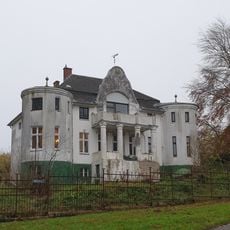
„Villa Marie“
793 m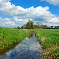
Tal der Drögen Eider und Eidertal
5.5 km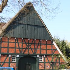
Fachhallenhaus Dorfstraße 14
836 m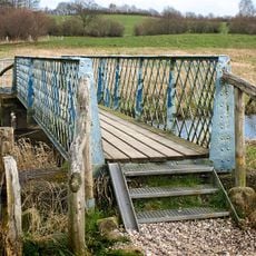
Fußgängerbrücke
7.5 km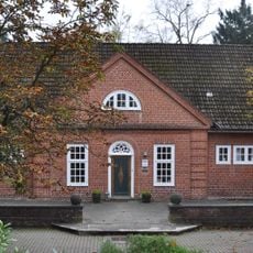
Landhaus Buchholtz
8.7 km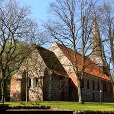
Kirche St. Johannis mit Ausstattung
7.1 km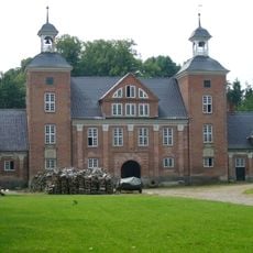
Gut Bothkamp: Großes Torhaus
1.9 km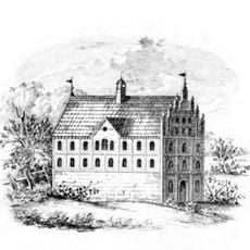
Gut Bothkamp: Herrenhaus
1.8 km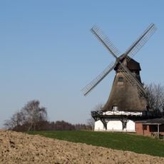
Windmühle
2.2 km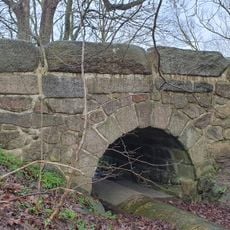
Brücke über den „Strom“
1.2 km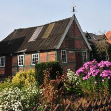
Alte Schmiede
7.6 km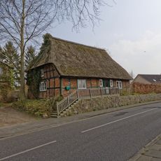
Freeweid 18
6.6 km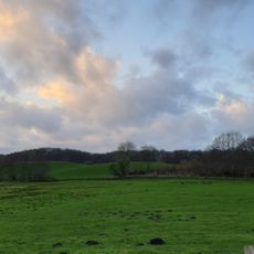
Wald nordwestlich Boksee
3.9 km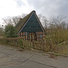
Wohnhaus Sandberg 10
7.2 km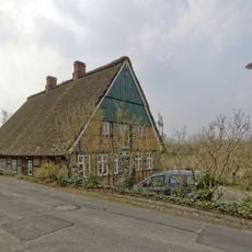
Wohnhaus Sandberg 8
7.2 km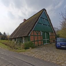
Wohnhaus Sandberg 6
7.2 km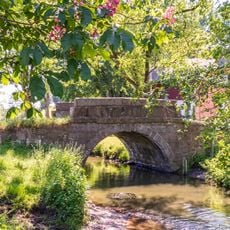
Eiderbrücke
6.9 kmVisited this place? Tap the stars to rate it and share your experience / photos with the community! Try now! You can cancel it anytime.
Discover hidden gems everywhere you go!
From secret cafés to breathtaking viewpoints, skip the crowded tourist spots and find places that match your style. Our app makes it easy with voice search, smart filtering, route optimization, and insider tips from travelers worldwide. Download now for the complete mobile experience.

A unique approach to discovering new places❞
— Le Figaro
All the places worth exploring❞
— France Info
A tailor-made excursion in just a few clicks❞
— 20 Minutes