
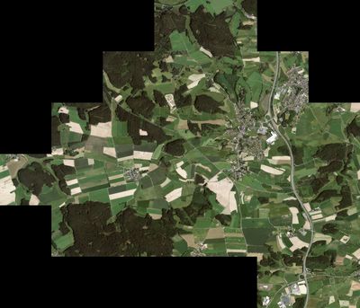
Höchstädt im Fichtelgebirge
Höchstädt im Fichtelgebirge, municipality of Germany
Location: Wunsiedel
Elevation above the sea: 565 m
Part of: Verwaltungsgemeinschaft Thiersheim
Shares border with: Thierstein, Marktleuthen, Röslau, Wunsiedel, Thiersheim
Website: http://95186-hoechstaedt.de
GPS coordinates: 50.10000,12.08333
Latest update: April 5, 2025 06:59

Netzsch-Arena
7.3 km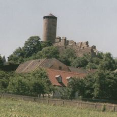
Burgruine
1.7 km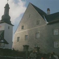
Schloss Bernstein
3.6 km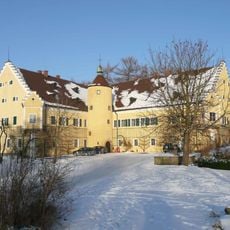
Schloss
7.5 km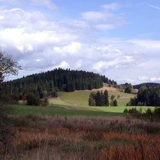
Neuhaus Castle on the Eger
5.8 km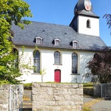
St. Johannis
8.1 km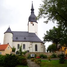
Pfarrkirche
4 km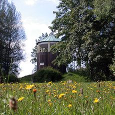
Wartberg
5 km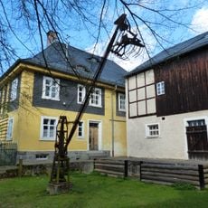
Gerätemuseum Bergnersreuth
6 km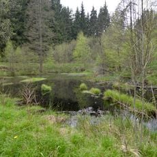
Egertal bei Neuhaus
5.1 km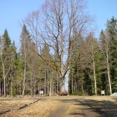
Rondell (Kaiserhammer)
3.9 km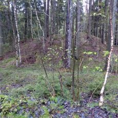
Burgstall Großwendern
7.6 km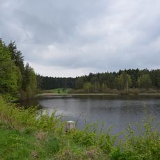
Brutteich und Brutwiesen bei Neuhaus a.d. Eger
4.7 km
Burgstall Foerles-Neudürrlas
3.5 km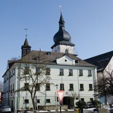
Rathaus
7.1 km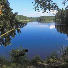
Moorgebiet Wunsiedler Weiher
6.9 km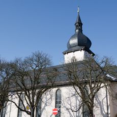
St. Nikolaus
7.1 km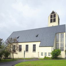
St. Wolfgang
6.7 km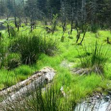
Feuchtgebiete um Selb und Großwendern
5.4 km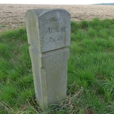
Meilenstein
6.5 km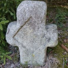
Gedenkstein
8 km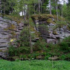
Granitfelsen im Egertal SW von Silberbach
6.1 km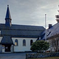
Zur Hl. Dreifaltigkeit und Johannes Baptista
8.1 km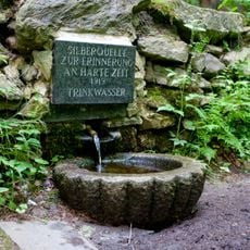
Eger- und Röslautal
500 m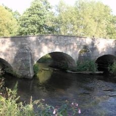
Bogenbrücke
4 km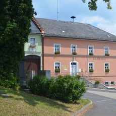
Büro-
4.1 km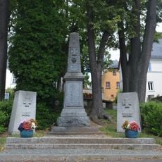
Kriegerdenkmal Marktplatz in Thiersheim
4.1 km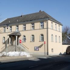
Pfarrhaus
7 kmReviews
Visited this place? Tap the stars to rate it and share your experience / photos with the community! Try now! You can cancel it anytime.
Discover hidden gems everywhere you go!
From secret cafés to breathtaking viewpoints, skip the crowded tourist spots and find places that match your style. Our app makes it easy with voice search, smart filtering, route optimization, and insider tips from travelers worldwide. Download now for the complete mobile experience.

A unique approach to discovering new places❞
— Le Figaro
All the places worth exploring❞
— France Info
A tailor-made excursion in just a few clicks❞
— 20 Minutes