Neuenstein, municipality in Germany
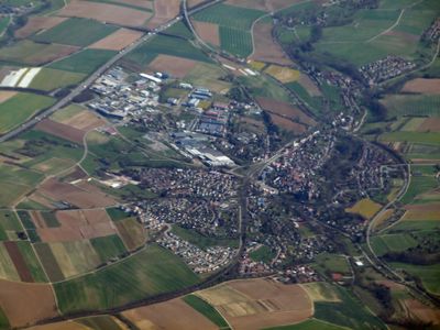
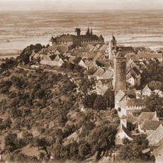
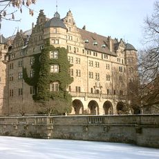
Neuenstein is a small town in the Hohenlohe region of southwestern Germany with around 6,000 inhabitants centered around a medieval castle. The four-winged castle houses a museum featuring artwork, historical weapons, and the archives of the House of Hohenlohe, with a lake, rose garden, and walking paths surrounding it.
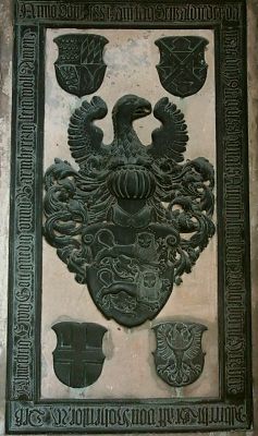
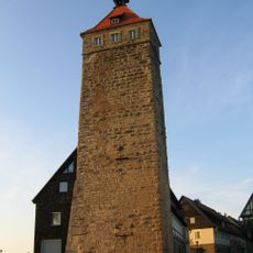
Founded in 1230, the town developed around a castle that long served as the seat of the Hohenlohe-Oehringen family. The castle was transformed from medieval times through the Renaissance, gaining its four wings in the process, while the town produced Wendel Hipler, a leader in a major peasant uprising centuries ago.
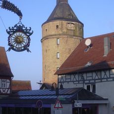
The name refers to the castle that shapes how residents and visitors experience the town. Local traditions like the weekly market and periodic night watchman tours show how the community values its past and keeps stories alive through everyday activities.
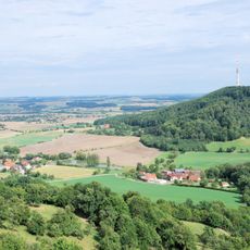
The old town center is flat and easily walkable, with a one-hour route of about one kilometer that is accessible for visitors with mobility challenges. Bicycles are a popular way to explore the area, with marked routes leading to the castle, historic walls, and the church.
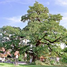
About one kilometer north of the town stands the Emmertshof oak tree, roughly 750 years old and one of the strongest and oldest of its kind in southern Germany. This protected natural monument is a popular resting spot where visitors can feel the calm strength of this ancient tree.
The community of curious travelers
AroundUs brings together thousands of curated places, local tips, and hidden gems, enriched daily by 60,000 contributors worldwide.