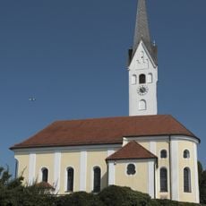
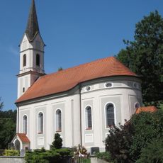
Wartenberg, market municipality in Bavaria
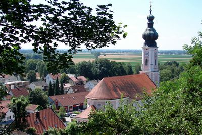
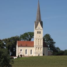
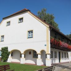
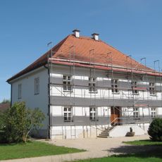
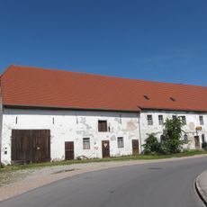
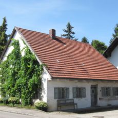
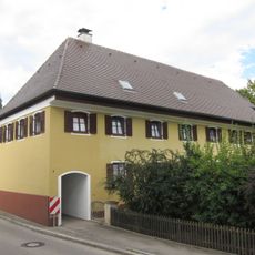
Wartenberg is a market municipality in the Erding district of Bavaria, set in a gently rolling rural area northeast of Munich. The community consists of a small central village and several outlying hamlets connected by country roads.
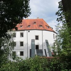
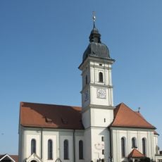
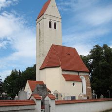
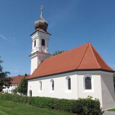
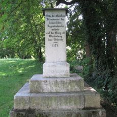
Wartenberg was founded in the Middle Ages as a fortified settlement and later gained market rights, which established it as a local trading point in the region. Over the following centuries it kept its rural character, shaped mainly by farming and small trade.
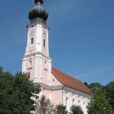
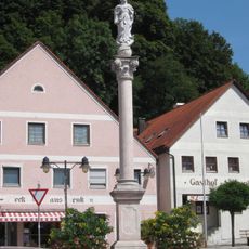
The name Wartenberg comes from an old German word for a watchtower hill, hinting at a past role in surveying the surrounding land. Today the central square draws locals for the weekly market, where small shops and a few cafes give the place its everyday rhythm.
Wartenberg is easiest to reach by car from Erding, which has a rail connection to Munich, and local buses cover some routes in the area. A visit works well in the morning when the weekly market is open and the village center is most active.
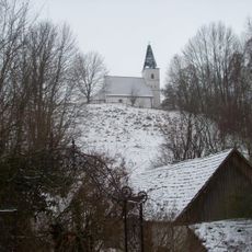
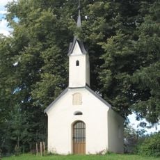
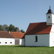
The farmland around Wartenberg hides a handful of small ponds that rarely appear on tourist maps but are well known to locals who walk or fish there. These spots offer a different side of the Bavarian countryside that most visitors pass through without noticing.
The community of curious travelers
AroundUs brings together thousands of curated places, local tips, and hidden gems, enriched daily by 60,000 contributors worldwide.