
Wört, municipality in Germany
Location: Ostalbkreis
Location: Ellwangen (Jagst) VVG
Elevation above the sea: 455 m
Website: http://gemeinde-woert.de
GPS coordinates: 49.03222,10.27250
Latest update: March 11, 2025 02:57

Patrizierhaus
5.3 km
Vierflügelanlage
5.1 km
Kapuzinerkloster Dinkelsbühl
5.2 km
Evangelical parish church in Segringen
3.5 km
St. Leonhard (Dinkelsbühl)
5.3 km
Auweiher
2 km
Steingasse 12
5.3 km
Birkenweiher mit Ober- und Unterholzweiher
2 km
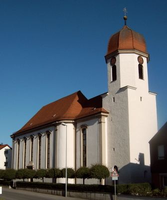
Pfarrkirche St. Leonhard
3.9 km
Vogelfreistätte Walk- und Gaisweiher
4.2 km
Segringer Tor
5.1 km
Nördlinger Tor (Dinkelsbühl)
5.3 km
Gymnasium Dinkelsbühl
4.9 km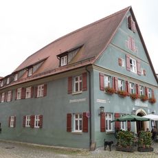
Wappen
5.3 km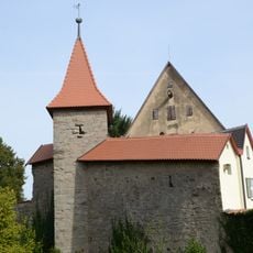
Kapuzinerweg 1
5.1 km
Oberer Mauerweg 30
5.1 km
Spitalbastei
5.3 km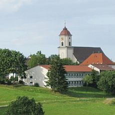
Zur Schmerzhaften Mutter Gottes
4.6 km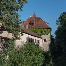
Oberer Mauerweg 12
5 km
Ackerbürgerhaus
5.3 km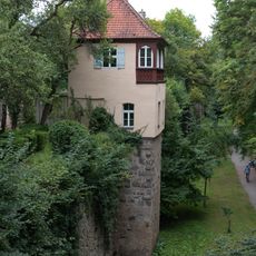
Oberer Mauerweg 16 (Dinkelsbühl)
5.1 km
Oberer Mauerweg 26
5.1 km
Wohnhaus
5.3 km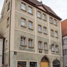
Gasthaus
5.3 km
Oberer Mauerweg 36
5.1 km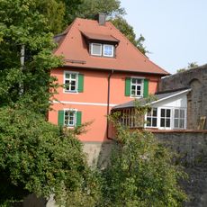
Kapuzinerweg 5
5.3 km
Oberer Mauerweg 20
5.1 km
Oberer Mauerweg 50 (Dinkelsbühl)
5.2 kmReviews
Visited this place? Tap the stars to rate it and share your experience / photos with the community! Try now! You can cancel it anytime.
Discover hidden gems everywhere you go!
From secret cafés to breathtaking viewpoints, skip the crowded tourist spots and find places that match your style. Our app makes it easy with voice search, smart filtering, route optimization, and insider tips from travelers worldwide. Download now for the complete mobile experience.

A unique approach to discovering new places❞
— Le Figaro
All the places worth exploring❞
— France Info
A tailor-made excursion in just a few clicks❞
— 20 Minutes