
Geldersheim, municipality of Germany
Location: Schweinfurt
Elevation above the sea: 234 m
Shares border with: Wasserlosen, Werneck
Website: http://geldersheim.de
GPS coordinates: 50.05000,10.15000
Latest update: March 3, 2025 17:41

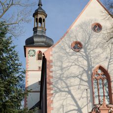
Pfarrkirche
1 km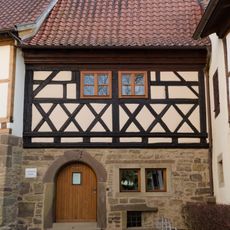
Archäologisches Museum Geldersheim
1 km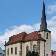
Filialkirche
4.1 km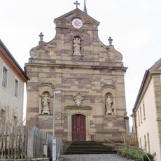
St. Johannes der Täufer
4.7 km
Rathaus
1 km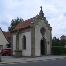
Kapelle
1.1 km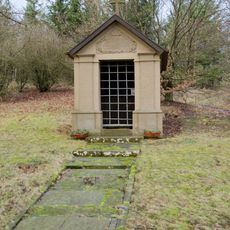
Kapelle
4.4 km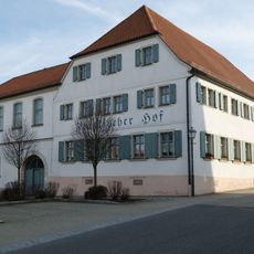
Gasthof
1 km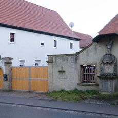
Wohngbäude
4.8 km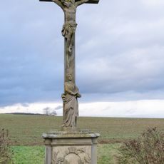
Wegkreuz
4.2 km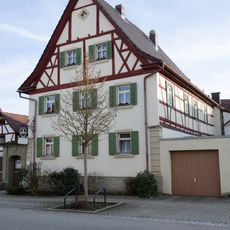
Bauernhof
919 m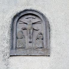
Bildstockaufsatz
4.8 km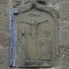
Bildstockkopf
820 m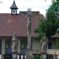
Friedhof
889 m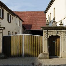
Hoftor
1.1 km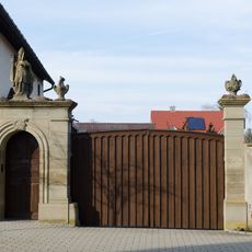
Hoftor
846 m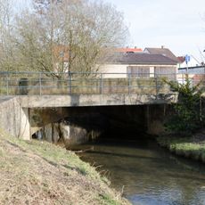
Brücke
855 m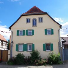
Bauernhaus
1.1 km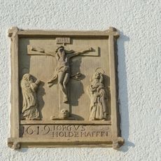
Relief
804 m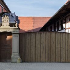
Hoftor
1 km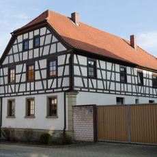
Bauernhaus
1.1 km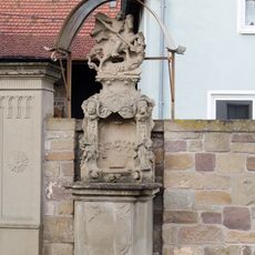
Prozessionsaltar
4.8 km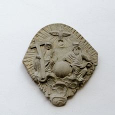
Relief
1 km
Pietà
1.3 km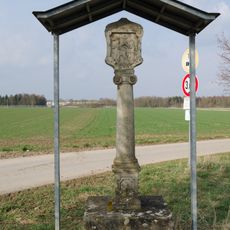
Bildstock
1.7 km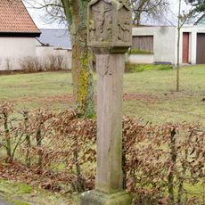
Bildstock
5.1 km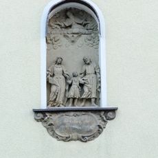
Relief
4.6 km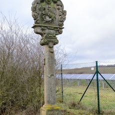
Bildstock
4.9 kmReviews
Visited this place? Tap the stars to rate it and share your experience / photos with the community! Try now! You can cancel it anytime.
Discover hidden gems everywhere you go!
From secret cafés to breathtaking viewpoints, skip the crowded tourist spots and find places that match your style. Our app makes it easy with voice search, smart filtering, route optimization, and insider tips from travelers worldwide. Download now for the complete mobile experience.

A unique approach to discovering new places❞
— Le Figaro
All the places worth exploring❞
— France Info
A tailor-made excursion in just a few clicks❞
— 20 Minutes