
Loiching, municipality of Germany
Location: Dingolfing-Landau
Elevation above the sea: 385 m
Shares border with: Dingolfing, Moosthenning, Niederviehbach, Kröning, Aham, Marklkofen
Website: http://loiching.de
GPS coordinates: 48.61667,12.43333
Latest update: March 5, 2025 11:02
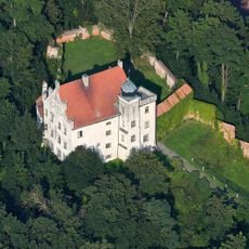
Schloss Teisbach
2.1 km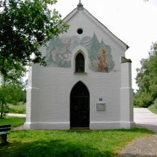
Heimlichleiden
2.6 km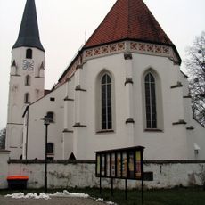
St. Peter und Paul
708 m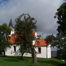
St. Stephan
2.9 km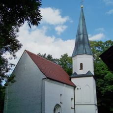
St. Andreas
2.4 km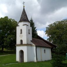
Kapelle Maria Wegweiserin
4 km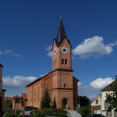
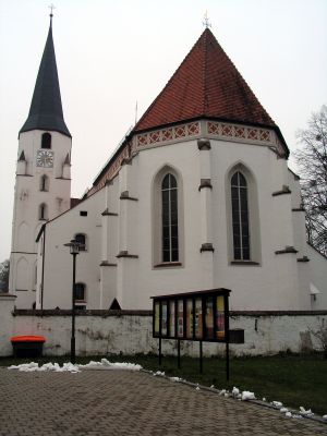
St. Vitus
1.9 km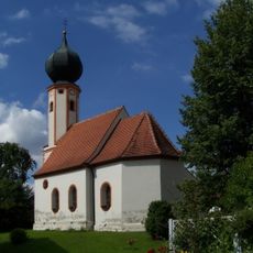
Katholische Filialkirche St. Elisabeth
3.9 km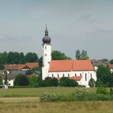
St. Maria und St. Dionysius
9.6 km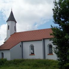
Katholische Filialkirche St. Stephan
5.4 km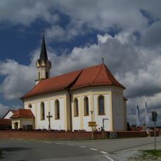
St. Jakobus
7.3 km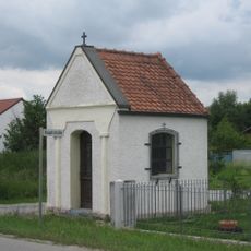
Dingolfing Wegkapelle in Höfen
2.6 km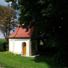
Straßenkapelle
6 km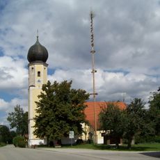
Katholische Filialkirche St. Leonhard
2.8 km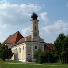
Katholische Wallfahrtskirche Hl. Dreifaltigkeit
8.7 km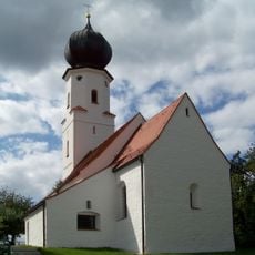
Katholische Filialkirche St. Martin
1.8 km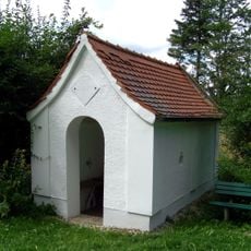
Kapelle St. Antonius
5.1 km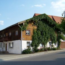
Wohnstallhaus mit Nebengebäude
9.6 km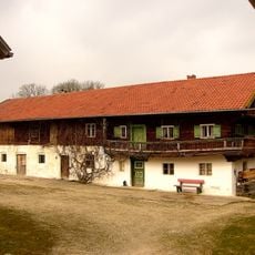
Wohnstallhaus
1.9 km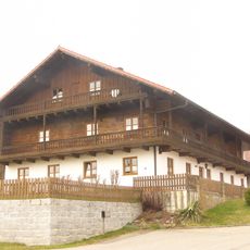
Bauernhaus
1.7 km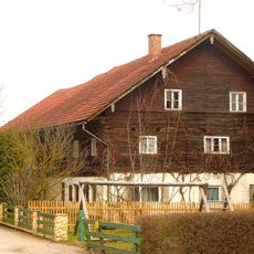
Bauernhaus
2.2 km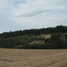
Ehemalige Kiesgrube Maßendorf
3 km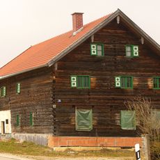
Bauernhaus
1.9 km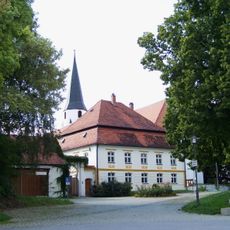
Pfarrhof
674 m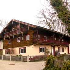
Ehem. Kleinbauernhaus
1.8 km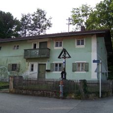
Kleinbauernhaus
9.4 km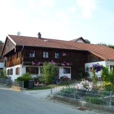
Ehemaliges Wohnstallhaus
9.5 km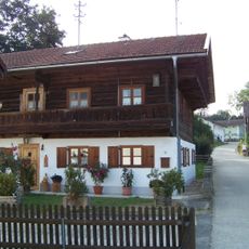
Ehemaliges Wohnstallhaus
9.5 kmReviews
Visited this place? Tap the stars to rate it and share your experience / photos with the community! Try now! You can cancel it anytime.
Discover hidden gems everywhere you go!
From secret cafés to breathtaking viewpoints, skip the crowded tourist spots and find places that match your style. Our app makes it easy with voice search, smart filtering, route optimization, and insider tips from travelers worldwide. Download now for the complete mobile experience.

A unique approach to discovering new places❞
— Le Figaro
All the places worth exploring❞
— France Info
A tailor-made excursion in just a few clicks❞
— 20 Minutes