
Porschdorf, village in Germany
Location: Bad Schandau
Elevation above the sea: 195 m
Website: http://porschdorf.de
GPS coordinates: 50.94180,14.12687
Latest update: March 16, 2025 19:42
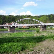
Carola Bridge (Carolabrücke)
2.1 km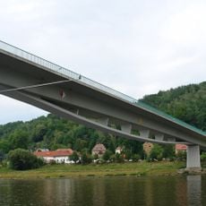
Elbebrücke Bad Schandau
2.3 km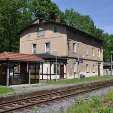
Goßdorf-Kohlmühle railway station
2.6 km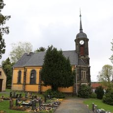
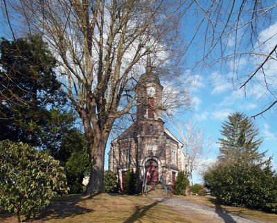
Kirche Porschdorf
315 m
Schloss Prossen
1.6 km
Cemetery in Bad Schandau
2.7 km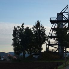
Aussichtsturm Rathmannsdorf
2 km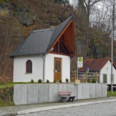
Gedächtniskapelle
1.6 km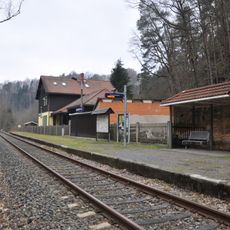
Am Bahnhof 58
807 m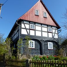
Zum Dorfgrund 15
1.8 km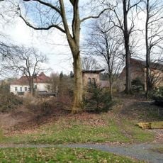
Sachgesamtheit Rittergut Prossen mit folgenden Einzeldenkmalen: Herrenhaus (Nr. 15), Gesindehaus (Nr. 17), Gartenpavillon, Einfriedungsmauer und Steinbank im Park (siehe Einzeldenkmalliste obj. 09224320) sowie Gutspark und Obstwiese(Gartendenkmal) un
1.6 km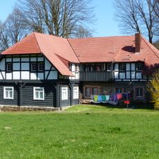
Zum Dorfgrund 1
1.7 km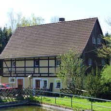
Zum Dorfgrund 4 Waitzdorf
1.8 km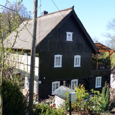
Zum Dorfgrund 6 Waitzdorf
1.7 km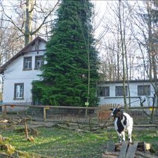
Brand
1.7 km
Eisenbahnstrecke Bad Schandau -Sebnitz -Neustadt i. Sa. (Sachgesamtheit); Bahnhof Bad Schandau Bad Schandau
2.6 km
Kohlmühle; Alte Kohlmühle Kohlmühle
2.7 km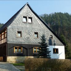
Hohnsteiner Straße 20
447 m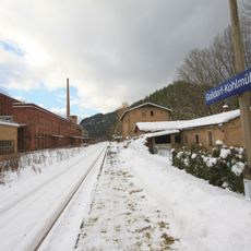
Sachgesamtheitsbestandteil der Sachgesamtheit Eisenbahnstrecke Bad Schandau–Sebnitz–Neustadt i. Sa., OT Kohlmühle, mit folgenden Einzeldenkmalen: Empfangsgebäude, Nebengebäude und Eisenbahnerwohnhaus (siehe Einzeldenkmalliste - Obj. 09254215)
2.2 km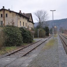
Eisenbahnstrecke Bad Schandau -Sebnitz -Neustadt i. Sa. (Sachgesamtheit); Bahnhof Rathmannsdorf Wendischfähre
1.7 km
Zwei Kasernengebäude Talstraße 28; 28a
1.6 km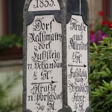
Wegestein Rathmannsdorf
1.8 km
„Waltersdorfer Mühle“ inn
2.4 km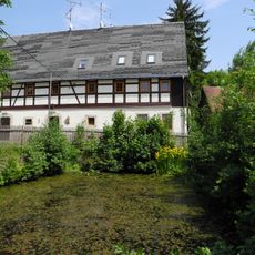
Wohnstallhaus, Seitengebäude und Scheune eines Bauernhofes sowie Teich vor dem Hof Liliensteinstraße 3
1.6 km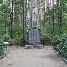
Sachgesamtheit Waldfriedhof am Lilienstein mit einer Gedenktafel für die Opfer des Faschismus und einer hölzernen Einfriedung (Sachgesamtheitsteile)
2.4 km
Eisenbahnstrecke Bad Schandau -Sebnitz -Neustadt i. Sa. (Sachgesamtheit) Krippen
2.6 km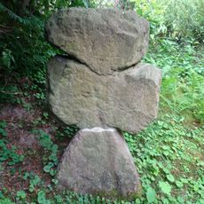
Steinkreuz Ringweg 32 (bei)
203 m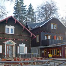
Ausflugslokal (Nr. 27), Blockhaus (Nr. 18) und ehemaliges Logierhaus (Nr. 20) auf dem Brand Brandstraße 18; 20; 27
1.6 kmReviews
Visited this place? Tap the stars to rate it and share your experience / photos with the community! Try now! You can cancel it anytime.
Discover hidden gems everywhere you go!
From secret cafés to breathtaking viewpoints, skip the crowded tourist spots and find places that match your style. Our app makes it easy with voice search, smart filtering, route optimization, and insider tips from travelers worldwide. Download now for the complete mobile experience.

A unique approach to discovering new places❞
— Le Figaro
All the places worth exploring❞
— France Info
A tailor-made excursion in just a few clicks❞
— 20 Minutes