
Walpernhain, municipality of Germany
Location: Saale-Holzland-Kreis
Elevation above the sea: 260 m
Shares border with: Droyßig, Heideland, Osterfeld
Website: https://walpernhain.de
GPS coordinates: 51.01667,11.95000
Latest update: March 3, 2025 01:39
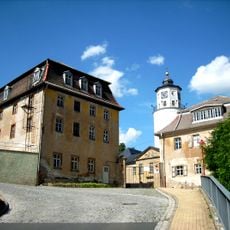
Crossen Palace
4.6 km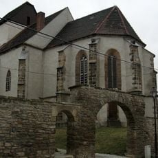
Protestant Church Pötewitz
3 km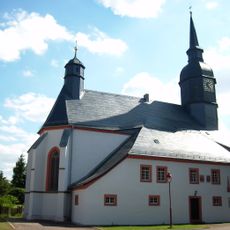
Michaeliskirche
4.9 km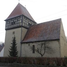
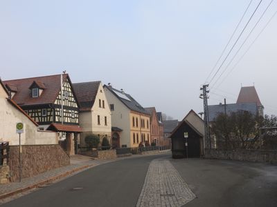
Church in Walpernhain
257 m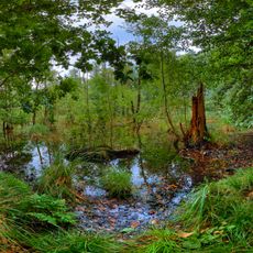
Heideteiche bei Osterfeld
5.5 km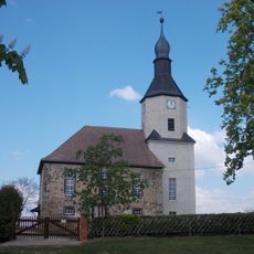
Protestant Church Großhelmsdorf
5 km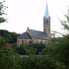
St. Laurentius
1 km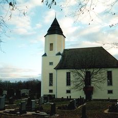
Protestant Church (Lindau)
2.5 km
Dorfkirche Etzdorf
4.4 km
St. Marien (Königshofen)
3.4 km
Dorfkirche Thiemendorf
3 km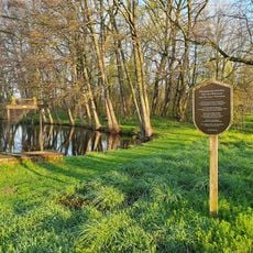
Park Thierbacfh
5.3 km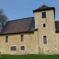
Protestant Church (Weißenborn)
3.5 km
Protestant Church Waldau
5.2 km
Protestant Church Weickelsdorf
3.8 km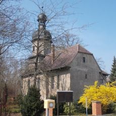
Protestant Church Meineweh
5.4 km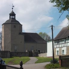
Protestant Church Weißenborn
1.8 km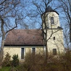
Protestant Church Kleinhelmsdorf
2.3 km
Horseshoe-Oldwater near Rossendorf
4.6 km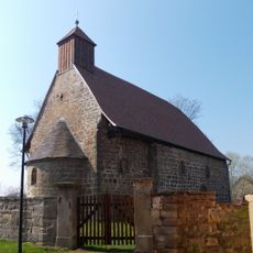
Protestant Church Droyßig
4.8 km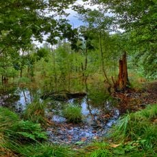
Waldauer Heideteich- und Auwaldgebiet
5.3 km
Fagus sylvatica near Droyßig
4.1 km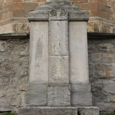
War memorial Buchheim (Heideland, Thuringia)
1.2 km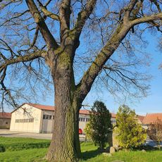
Quercus robur in Stolzenhain
2 km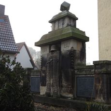
War memorial Walpernhain
273 m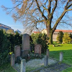
Kriegerdenkmal Stolzenhain
2 km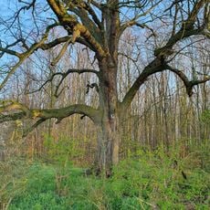
Tilia cordata near Thierbach
5 km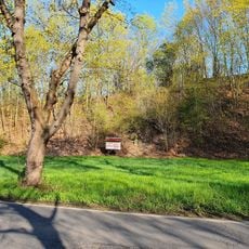
Stone quarry in Wetterzeube
4.2 kmVisited this place? Tap the stars to rate it and share your experience / photos with the community! Try now! You can cancel it anytime.
Discover hidden gems everywhere you go!
From secret cafés to breathtaking viewpoints, skip the crowded tourist spots and find places that match your style. Our app makes it easy with voice search, smart filtering, route optimization, and insider tips from travelers worldwide. Download now for the complete mobile experience.

A unique approach to discovering new places❞
— Le Figaro
All the places worth exploring❞
— France Info
A tailor-made excursion in just a few clicks❞
— 20 Minutes