
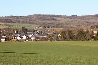
Dreikirchen, municipality of Germany
Location: Westerwaldkreis
Elevation above the sea: 245 m
Website: https://www.wallmerod.de/
Shares border with: Girod
Website: https://wallmerod.de
GPS coordinates: 50.44694,7.95528
Latest update: March 19, 2025 14:25
Elzer Berg
4.3 km
Hof Neuroth
6.1 km
Eisenbachwiesen
5.8 km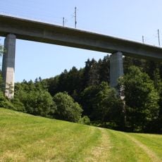
Wiesengrund-Talbrücke
4.6 km
Hartenberg/Steincheswiese
4.2 km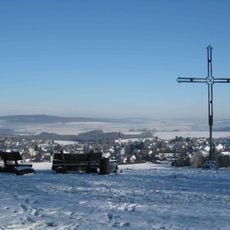
Ollmersch
1.7 km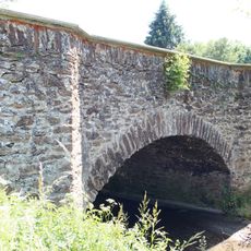
Salzbachbrücke
6 km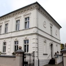
Wirtshof 9
6.2 km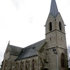
St. Stephanus
6 km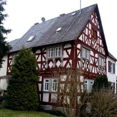
Oberdorf 8/10
6.2 km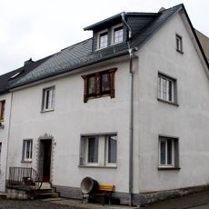
Hofgarten 2
6 km
Unter Eichen 10
6.1 km
Kath. Nikolauskapelle
3 km
Waldstraße 16
3 km
Bildstock
6.1 km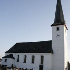
St. Peter
6.4 km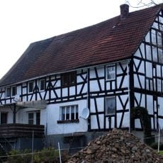
Schlaudermühle
5.7 km
Kapellenstraße 18
3 km
Alter Kirchplatz 2
6.1 km
Hohe Straße 7
3.1 km
Kölscher Hof 2/4
6 km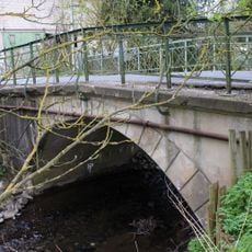
Salzbach-Brücke
6 km
Wirtshof 2
6.1 km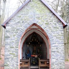
Waldkapelle
4.5 km
Unter Eichen 14
6.2 km
Unter Eichen 1
6.2 km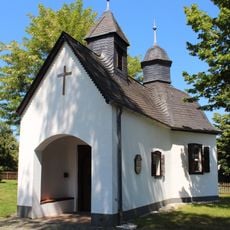
Kreuzkapelle
6.3 km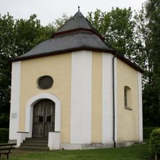
Kapelle Hohes Holz
5.6 kmReviews
Visited this place? Tap the stars to rate it and share your experience / photos with the community! Try now! You can cancel it anytime.
Discover hidden gems everywhere you go!
From secret cafés to breathtaking viewpoints, skip the crowded tourist spots and find places that match your style. Our app makes it easy with voice search, smart filtering, route optimization, and insider tips from travelers worldwide. Download now for the complete mobile experience.

A unique approach to discovering new places❞
— Le Figaro
All the places worth exploring❞
— France Info
A tailor-made excursion in just a few clicks❞
— 20 Minutes