Westerwaldkreis

Log in to your account

AroundUs is a community-driven map of interesting places, built by curious explorers like you. It grows with every review, story, and photo you share.
Connect to save your favorite spots, contribute locations, and create personalized routes.
Continue with Google
Continue with Apple
Continue with X
Continue with Facebook
Continue with email
By continuing, you accept our Terms and Conditions and our Privacy Policy
Create an account
Add to collection
Map
Suggest a change
Share

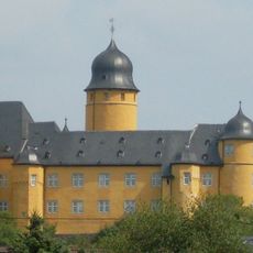
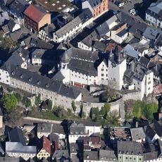
Westerwaldkreis, Rural district in Rhineland-Palatinate, Germany

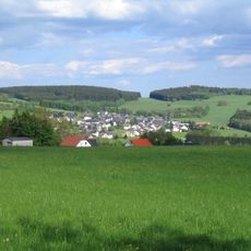
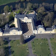
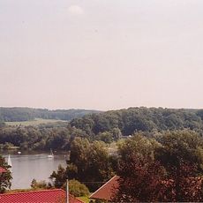
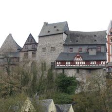
The Westerwaldkreis is a district in Rhineland-Palatinate that stretches across hilly terrain with valleys and is shaped by typical Central European landscapes. The region encompasses numerous small towns and villages and is characterized by meadows, fields, and forests that continuously define the landscape throughout the area.

The area has been inhabited since prehistoric times, as archaeological finds demonstrate, and experienced various periods of cultural and economic development. Medieval influences shaped the network of settlements and the craft traditions that have been preserved there to the present day.

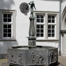
The region is known for its pottery tradition, which remains visible today in small workshops and shapes the craft throughout the villages. Visitors can observe artisans at work and purchase regional ceramic products that show how important this craft is to local identity.

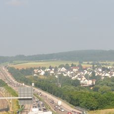
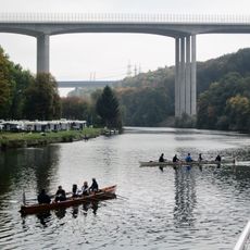
The region is well-equipped with marked hiking and cycling trails that run through villages and across the hills, allowing independent exploration. Access is via regional roads that connect the main town of Montabaur with the surrounding communities.

Some communities in the region take pride in their ceramic production, which partly uses traditional kilns and locally sourced clay. This ancient craft technique is found nowhere else in such concentration in Germany.

Location: Rhineland-Palatinate

Capital city: Montabaur

Elevation above the sea: 437 m

Shares border with: Koblenz, Siegen-Wittgenstein, Lahn-Dill-Kreis, Limburg-Weilburg, Rhein-Lahn-Kreis, Mayen-Koblenz, Neuwied, Altenkirchen district

Website: http://westerwald-kreis.de

GPS coordinates: 50.51667,7.86667

Latest update: December 14, 2025 18:37

Photos
Reviews

Visited this place? Tap the stars to rate it and share your experience / photos with the community! Try now! You can cancel it anytime.

« Westerwaldkreis - Rural district in Rhineland-Palatinate, Germany » is provided by Around Us (aroundus.com). Images and texts are derived from Wikimedia project under a Creative Commons license. You are allowed to copy, distribute, and modify copies of this page, under the conditions set by the license, as long as this note is clearly visible.

Discover hidden gems everywhere you go!

From secret cafés to breathtaking viewpoints, skip the crowded tourist spots and find places that match your style. Our app makes it easy with voice search, smart filtering, route optimization, and insider tips from travelers worldwide. Download now for the complete mobile experience.

Around Us App Screenshot

A unique approach to discovering new places

Le Figaro

All the places worth exploring

France Info

A tailor-made excursion in just a few clicks

20 Minutes