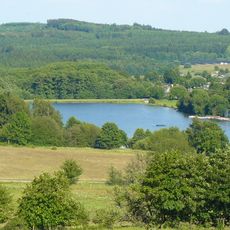
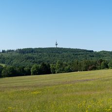
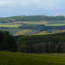
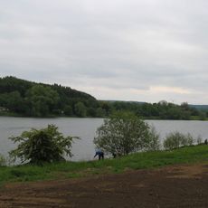
Fuchskaute, Mountain summit in Westerwald region, Germany
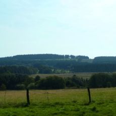
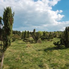
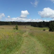
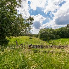
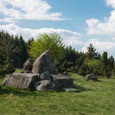
Fuchskaute is the highest point of the Westerwald at 657.3 m, a broad basalt plateau rather than a cone, with two summits about 650 m apart: the northern Alteberg (656.4 m) and the southern summit (657.3 m), itself split into two rises 175 m apart. Its rock is basanite, a fine-grained lava rock quarried in slabs rather than columns. The state border with Hesse runs along its eastern slope.
The basalt of the Fuchskaute belongs to a lava sheet about 22 to 28 million years old, laid down when today's Westerwald lay near sea level. The present summit is younger: uplift of the Rhenish Massif raised the region, and erosion left the hard basalt cap standing above the softer Devonian sediments. The rock is basanite, quarried in slabs rather than the usual columns.
The name Fuchskaute combines Fuchs (fox) and Kaute, an old term for a den or hollow, so it means the fox's resting place. The summit lies in the parish of Willingen, with the Hesse border running along its eastern slope near Waldaubach. Walkers on the Westerwaldsteig and the Rothaarsteig southern loop pass directly through the summit area.
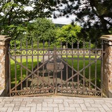
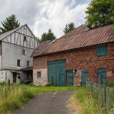
The Westerwaldsteig and the southern loop of the Rothaarsteig run directly through the summit area; their routes were rerouted in 2021 around the now-closed former inn property. The European long-distance trail E1 skirts the western flank of the north summit. The former inn and its car park are closed and fenced off as private property.
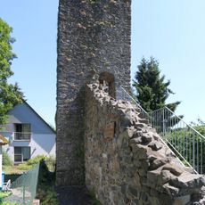
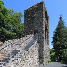
Old postcards show a steel lattice observation tower with three viewing platforms standing where the radio masts later stood on the south top; it no longer exists. The two amateur radio transmission towers there were shut down in early 2021. The summit area is split into a north top, also called Alteberg, and a south top with two rises.
The community of curious travelers
AroundUs brings together thousands of curated places, local tips, and hidden gems, enriched daily by 93,783 contributors worldwide.