
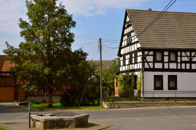
Elleben, municipality in Thuringia, Germany
Location: Ilm-Kreis
Location: Riechheimer Berg
Elevation above the sea: 320 m
Shares border with: Klettbach, Osthausen-Wülfershausen
GPS coordinates: 50.86194,11.09222
Latest update: April 10, 2025 01:20
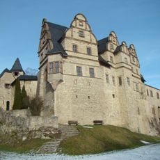
Oberschloss
7.3 km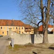
Willroda
6.2 km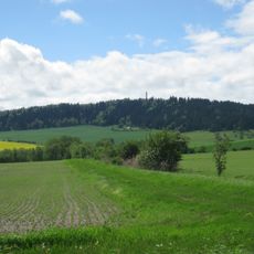
Riechheimer Berg
3.4 km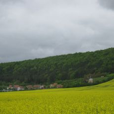
Thüringer Freilichtmuseum Hohenfelden
6 km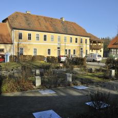
Lapidarium Willrode
6.2 km
Sender Erfurt-Windischholzhausen
7.8 km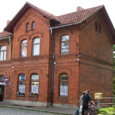
Kranichfeld station
7.8 km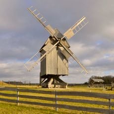
Bockwindmühle Klettbach
7.8 km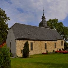
St. Gregorius (Alkersleben)
3.9 km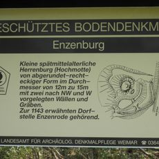
Enzenburg
7.1 km
Kirche St. Peter und Paul
2.5 km
Burkard Church
5.1 km
Protestant Church
7 km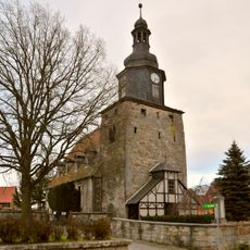
Saints Peter and Paul Church
8.4 km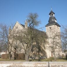
Protestant Church (Achelstädt)
3.5 km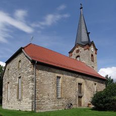
Holy Trinity Church (Bechstedt-Wagd)
5.3 km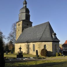
Saint Elisabeth of Hungary Church (Rockhausen)
5.7 km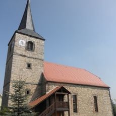
Saint George Church
6.2 km
St. Jakobus (Osthausen)
1.2 km
Aspenbusch
6.2 km
St. Eckard
6.5 km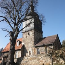
St. Vitus
1.7 km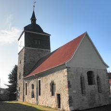
St.-Magdalenen-Kirche Witzleben
4.6 km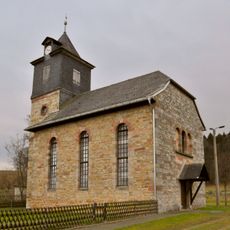
St. Burkhard (Nauendorf)
7 km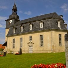
Dorfkirche Elleben
62 m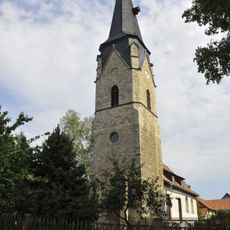
Saint Gangolf Church (Gügleben)
2.2 km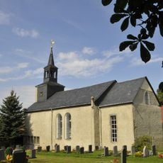
St. Gallus (Riechheim)
2.6 km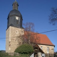
St. Michael (Egstedt)
6.8 kmVisited this place? Tap the stars to rate it and share your experience / photos with the community! Try now! You can cancel it anytime.
Discover hidden gems everywhere you go!
From secret cafés to breathtaking viewpoints, skip the crowded tourist spots and find places that match your style. Our app makes it easy with voice search, smart filtering, route optimization, and insider tips from travelers worldwide. Download now for the complete mobile experience.

A unique approach to discovering new places❞
— Le Figaro
All the places worth exploring❞
— France Info
A tailor-made excursion in just a few clicks❞
— 20 Minutes