
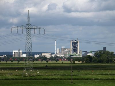
Lägerdorf, municipality of Germany
Location: Steinburg
Elevation above the sea: 8 m
Website: http://laegerdorf.de
GPS coordinates: 53.88333,9.58333
Latest update: April 1, 2025 18:42
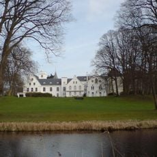
Schloss Breitenburg
2.7 km
Binnendünen Nordoe
5.7 km
Steinburg
4.8 km
Alsen
5.9 km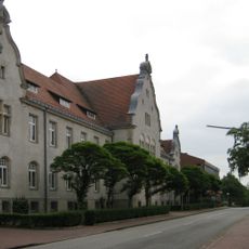
Amtsgericht Itzehoe
5.7 km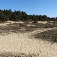
Münsterdorfer Geestinsel
3.7 km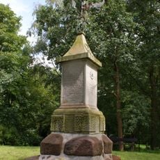
Tempel von Nordoe
5.2 km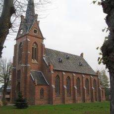
St.-Anschar-Kirche
3.5 km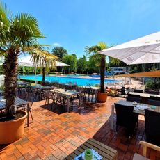
Freibad Lägerdorf
648 m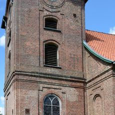
Kirche St. Nikolai
5.1 km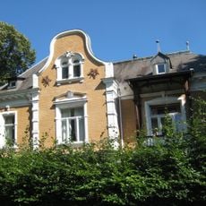
Las Villas (Cuba : Province)
5.5 km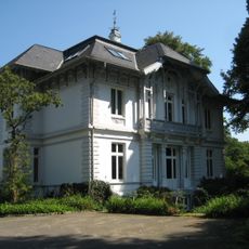
Villa
5.5 km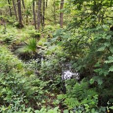
Geesthang bei Dägeling mit Bockwischer Moor
4.9 km
Hohenfelder Moor
3.9 km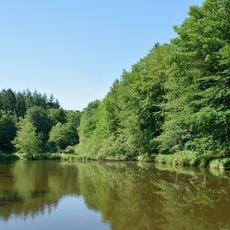
Charlottenhöhe
4.2 km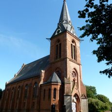
Kirche St. Katherinen
4.2 km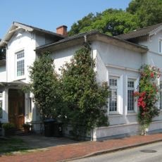
Villa Biel
5.9 km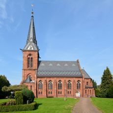
Kirche St. Katherinen mit Ausstattung
4.2 km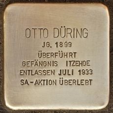
Stolperstein dedicated to Otto Düring
3.5 km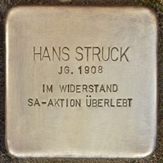
Stolperstein dedicated to Hans Struck
3.5 km
Feuerwehrhaus
484 m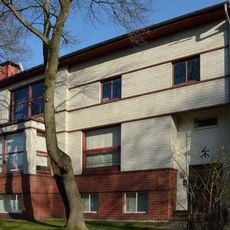
Wenzel Hablik
5.5 km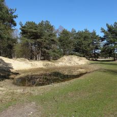
Binnendünen Nordoe
5.5 km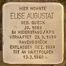
Stolperstein dedicated to Elise Augustat
523 m
Pavillon Amönenhöhe
4.1 km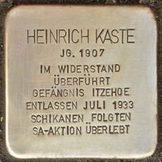
Stolperstein dedicated to Heinrich Kaste
3.5 km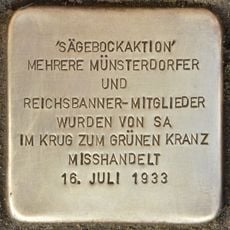
Stolperstein Sägebockaktion
3.5 km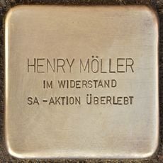
Stolperstein dedicated to Henry Möller
3.5 kmReviews
Visited this place? Tap the stars to rate it and share your experience / photos with the community! Try now! You can cancel it anytime.
Discover hidden gems everywhere you go!
From secret cafés to breathtaking viewpoints, skip the crowded tourist spots and find places that match your style. Our app makes it easy with voice search, smart filtering, route optimization, and insider tips from travelers worldwide. Download now for the complete mobile experience.

A unique approach to discovering new places❞
— Le Figaro
All the places worth exploring❞
— France Info
A tailor-made excursion in just a few clicks❞
— 20 Minutes