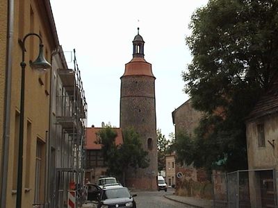
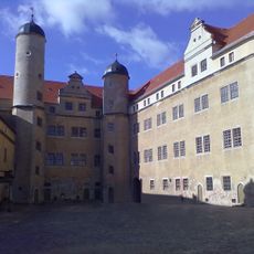
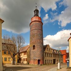
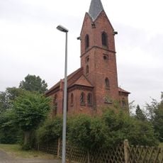
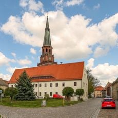
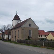
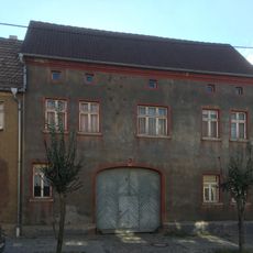
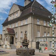
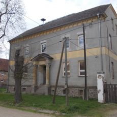
Prettin, human settlement in Germany
Location: Annaburg
Elevation above the sea: 77 m
Website: http://verwaltungsgemeinschaft-annaburg-prettin.de
GPS coordinates: 51.66078,12.92669
Latest update: March 5, 2025 19:05
Castle Lichtenburg
413 m
St. Marienkirche
3.8 km
Lichtenburger Torturm
264 m
Diakonatshaus
404 m
Protestant Church Prettin
332 m
Protestant church Hohndorf
3.6 km
Rathaus Prettin
344 m
Drei Rosen
251 m
Hohe Straße 7
245 m
Hospitalkirche
197 m
Bahnhofstraße 1
4.2 km
Kirche Drebligar
3.8 km
Kirche Polbitz
3.1 km
Dübener Straße 5
4.1 km
Dommitzsch, Sandstraße 2
3.7 km
Rathaus Dommitzsch
3.8 km
Leipziger Straße 76
4.1 km
Elbstraße 9
3.1 km
Bahnhofstraße 2
4.2 km
Leipziger Straße 19
4.2 km
Elbstraße 16
3 km
Elbstraße 10
3.1 km
Elbstraße 8
3.1 km
Monument to the fallen of the First World War
3.1 km
Leipziger Straße 74
4.2 km
Herrenhaus eines ehemaligen Rittergutes Hauptstraße 55
4.2 km
Ziegeleiringofen Großtreben
3.6 km
Elbstraße 17
3.1 kmReviews
Visited this place? Tap the stars to rate it and share your experience / photos with the community! Try now! You can cancel it anytime.
Discover hidden gems everywhere you go!
From secret cafés to breathtaking viewpoints, skip the crowded tourist spots and find places that match your style. Our app makes it easy with voice search, smart filtering, route optimization, and insider tips from travelers worldwide. Download now for the complete mobile experience.
A unique approach to discovering new places❞
— Le Figaro
All the places worth exploring❞
— France Info
A tailor-made excursion in just a few clicks❞
— 20 Minutes